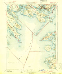
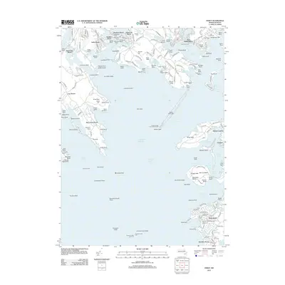
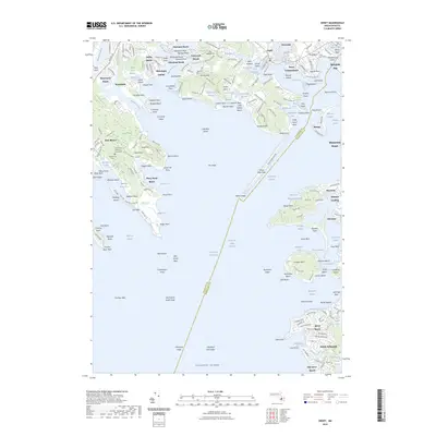
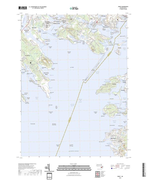
1941 Map of Onset
USGS Topo · Published 1942About this map
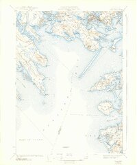
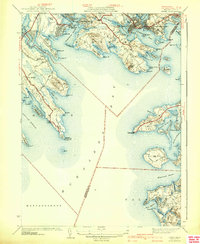
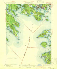
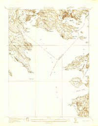
Buzzards Bay dominates this 1940s survey, revealing an intricate coastal landscape of inlets and necks at the boundary of Wareham and Bourne. The village of Onset appears as a developed center, flanked by Point Independence and the seasonal communities of Pinehurst Beach and Hamilton Beach. Further south, the map details the maritime navigation of the era with the Wings Neck Lighthouse and the offshore Cleveland Ledge Lighthouse.
Find a feature on this map
104 named features on this map. Tap any name to fly to it.
Don’t see what you’re looking for? This feature index may not catch every label — zoom into the map to look around manually.
Map Details
Editions of this 1941 Onset Map
4 editions found
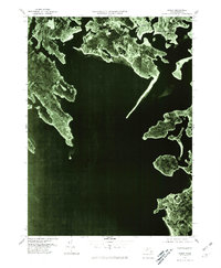
Historical Maps of Falmouth Through Time
11 maps found
1936 Onset
Plymouth County, MA
1941 Onset
Plymouth County, MA
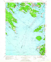
1953 Onset
Plymouth County, MA
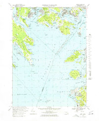
1967 Onset
Plymouth County, MA
1977 Onset
Plymouth County, MA
2012 Onset
Plymouth County, MA
2015 Onset
Plymouth County, MA
2018 Onset
Plymouth County, MA
2021 Onset
Plymouth County, MA
2023 Onset
Plymouth County, MA
2024 Onset
Plymouth County, MA