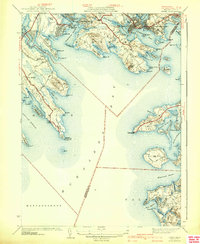
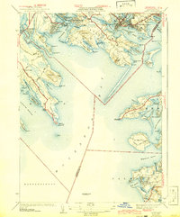
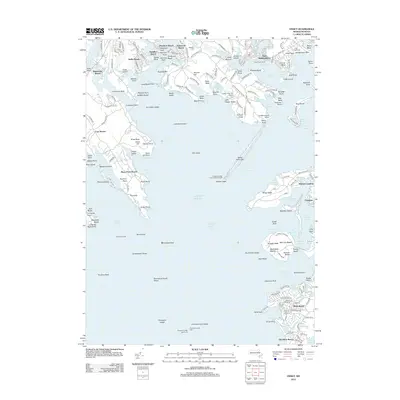
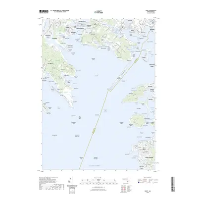
1941 Map of Onset
USGS Topo · Published 1941About this map
Buzzards Bay dominates this coastal landscape, where the intricate shoreline of the upper bay meets the industrial and recreational developments of the early 1940s. The village of Onset and adjacent Point Independence serve as focal points for maritime activity, characterized by numerous coves like Sunset Cove and Broad Cove. The northern section is defined by the Ny Nh & H Rr and cranberry cultivation at Stones Bog, reflecting the region’s dual reliance on transportation and agriculture. Along the southwestern coast, Sippican Neck is marked by the Kittansett Golf Club and the Beverly Yacht Club at Butlers Pt, illustrating the established seasonal culture of the era. To the east, the peninsula of Bourne reaches toward the Wings Neck Lighthouse, guarding the approach to Pocasset Harbor and Red Brook Harbor.
Find a feature on this map
95 named features on this map. Tap any name to fly to it.
Don’t see what you’re looking for? This feature index may not catch every label — zoom into the map to look around manually.
Map Details
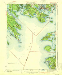
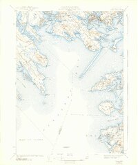
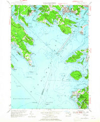
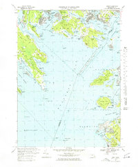
Editions of this 1941 Onset Map
4 editions found
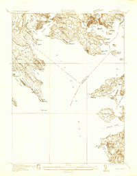
Historical Maps of Falmouth Through Time
11 maps found
1936 Onset
Plymouth County, MA
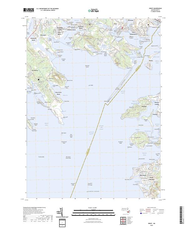
1941 Onset
Plymouth County, MA
1953 Onset
Plymouth County, MA
1967 Onset
Plymouth County, MA
1977 Onset
Plymouth County, MA
2012 Onset
Plymouth County, MA
2015 Onset
Plymouth County, MA
2018 Onset
Plymouth County, MA
2021 Onset
Plymouth County, MA
2023 Onset
Plymouth County, MA
2024 Onset
Plymouth County, MA