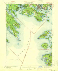
1941 Map of Onset
USGS Topo · Published 1941About this map
Onset and Point Independence anchor the northern reaches of Onset Bay in this pre-war coastal study, showcasing a landscape of seasonal summer colonies and established maritime tradition. The dense network of beaches, including Briarwood Beach, Swifts Beach, and Hamilton Beach, illustrates the region's development as a premier coastal retreat. Along the peninsula of Sippican Neck, the Beverly Yacht Club and the Kittansett Golf Club highlight the specialized land use of the era, while Wings Neck Lighthouse stands as a vital navigational aid for Buzzards Bay mariners.
Find a feature on this map
104 named features on this map. Tap any name to fly to it.
Don’t see what you’re looking for? This feature index may not catch every label — zoom into the map to look around manually.
Map Details
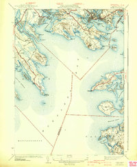
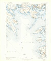
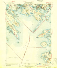
Editions of this 1941 Onset Map
4 editions found
Other maps of this area

1885 · New Bedford
USGS Topo · 1:62,500

1885 · Middleboro
USGS Topo · 1:62,500

1886 · Falmouth
USGS Topo · 1:62,500

1886 · Plymouth
USGS Topo · 1:62,500

1888 · New Bedford
USGS Topo · 1:62,500

1888 · Falmouth
USGS Topo · 1:62,500

1888 · Middleboro
USGS Topo · 1:62,500

1889 · Plymouth
USGS Topo · 1:62,500

1893 · Middleboro
USGS Topo · 1:62,500

1893 · Falmouth
USGS Topo · 1:62,500