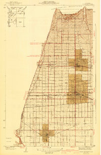
1942 Map of Ontario and Vicinity
USGS Topo · Published 1942About this map
Ontario and Upland stand as the central hubs of this 1942 edition survey, which illustrates the organized grid of citrus groves and vineyards that defined the San Bernardino Valley before mid-century suburbanization. The landscape is bisected by a sophisticated transit network, including the Atchison Topeka And Santa Fe, Southern Pacific, and Union Pacific railroads, alongside the Pacific Electric line. From the base of the San Gabriel Mountains at San Antonio Heights, the terrain slopes southward past College Hill and the Bellevue Cem toward the agrarian settlement of Chino. Local landmarks such as the Sierra Vista Sch and the community of Narod are clearly positioned within the extensive land grants of Cucamonga and Santa Ana Del Chino. The map captures the region's hydraulic reliance on the San Antonio Wash and Cucamonga Wash, which channeled seasonal runoff across the developing alluvial plain.
Find a feature on this map
42 named features on this map. Tap any name to fly to it.
Don’t see what you’re looking for? This feature index may not catch every label — zoom into the map to look around manually.
Map Details
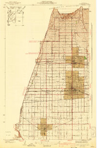
Editions of this 1942 Ontario and Vicinity Map
2 editions found
Other maps of this area

1894 · Pomona
USGS Topo · 1:62,500

1896 · Anaheim
USGS Topo · 1:62,500

1897 · Pomona
USGS Topo · 1:62,500

1897 · Cucamonga
USGS Topo · 1:62,500

1898 · Pomona
USGS Topo · 1:62,500

1898 · Anaheim
USGS Topo · 1:62,500

1900 · Cucamonga
USGS Topo · 1:62,500

1901 · Southern California Sheet No. 1
USGS Topo · 1:250,000

1901 · Anaheim
USGS Topo · 1:62,500

1902 · Corona
USGS Topo · 1:125,000