
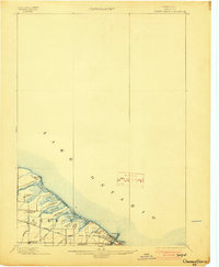
1899 Map of Ontario Beach
USGS Topo · Published 1899About this map
The town of Greece and its shoreline along Lake Ontario reveal a late-19th-century landscape defined by a chain of coastal ponds and early rail development. The map details the transition from rural crossroads like North Greece and Greece Sta. to the burgeoning waterfront resort culture at the turn of the century. Running parallel to the beach, the Grand View Beach Electric Railroad provided crucial transit across the sandy barrier between Braddock Bay and the popular destination of Ontario Beach.
Find a feature on this map
28 named features on this map. Tap any name to fly to it.
Don’t see what you’re looking for? This feature index may not catch every label — zoom into the map to look around manually.
Map Details
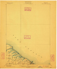
Editions of this 1899 Ontario Beach Map
3 editions found
Other maps of this area

1895 · Rochester
USGS Topo · 1:62,500

1895 · Ontario Beach
USGS Topo · 1:62,500

1898 · Rochester
USGS Topo · 1:62,500

1899 · Hamlin
USGS Topo · 1:62,500

1899 · Brockport
USGS Topo · 1:62,500

1900 · Macedon
USGS Topo · 1:62,500

1912 · Rochester
USGS Topo · 1:62,500

1912 · Ontario Beach
USGS Topo · 1:62,500

1920 · Rochester
USGS Topo · 1:62,500

1931 · Rochester West
USGS Topo · 1:24,000