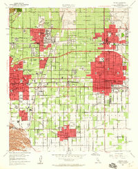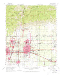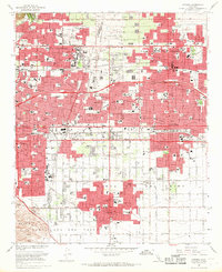
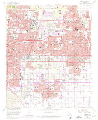
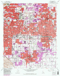
1967 Map of Ontario
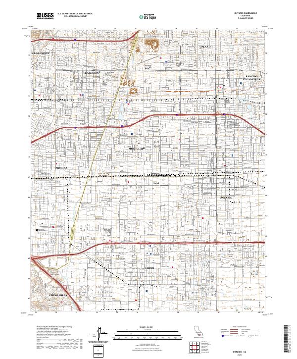
USGS Topo · Published 1969About this map
The prestigious Claremont Colleges, including Pomona College, Scripps College, and Pitzer College, anchor the northern landscape of this late 1960s survey. The area is a complex network of academic institutions and rapidly expanding suburbs, where the established residential patterns of Claremont and Upland meet the growing industrial and transport corridors to the south. Three major rail lines—the Southern Pacific, Union Pacific, and the Atchison Topeka and Santa Fe—cross the valley, underscoring the region's importance as a logistics hub.
Find a feature on this map
47 named features on this map. Tap any name to fly to it.
Don’t see what you’re looking for? This feature index may not catch every label — zoom into the map to look around manually.
Map Details
Editions of this 1967 Ontario Map
3 editions found
Historical Maps of Ontario Ranch Through Time
4 maps found