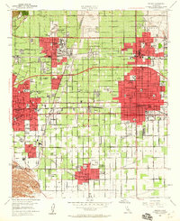
1954 Map of Ontario
USGS Topo · Published 1960About this map
San Antonio Wash carves through the landscape, defining the border between Los Angeles and San Bernardino counties as the Inland Empire expanded mid-century. This survey highlights the dense academic and civic infrastructure of Claremont, featuring Pomona College, Scripps College, and the Men's College alongside the Rancho Santa Ana Botanic Garden. The industrial and transportation backbone of the region is evident in the heavy rail corridors of the Atchison Topeka and Santa Fe and the Southern Pacific, which supported the agricultural and commercial centers of Ontario and Pomona.
Find a feature on this map
85 named features on this map. Tap any name to fly to it.
Don’t see what you’re looking for? This feature index may not catch every label — zoom into the map to look around manually.
Map Details
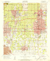
Editions of this 1954 Ontario Map
2 editions found
Other maps of this area

1894 · Pomona
USGS Topo · 1:62,500

1896 · Anaheim
USGS Topo · 1:62,500

1897 · Pomona
USGS Topo · 1:62,500

1897 · Cucamonga
USGS Topo · 1:62,500

1898 · Pomona
USGS Topo · 1:62,500

1898 · Anaheim
USGS Topo · 1:62,500

1900 · Cucamonga
USGS Topo · 1:62,500

1901 · Southern California Sheet No. 1
USGS Topo · 1:250,000

1901 · Anaheim
USGS Topo · 1:62,500

1902 · Corona
USGS Topo · 1:125,000