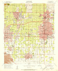
1954 Map of Ontario
USGS Topo · Published 1955About this map
Pomona College and the surrounding academic landscape of Claremont anchor the northern portion of this mid-century survey, a period when the inland valley was transitioning from its citrus-growing roots into a dense suburban and industrial corridor. The map captures the institutional growth of the era, including Scripps College and the newly relocated Rancho Santa Ana Botanic Garden near Indian Hill. To the south, the expansion of the Ontario International Airport and the presence of the Chino Prison signal the increasing utility of the flatlands.
Find a feature on this map
86 named features on this map. Tap any name to fly to it.
Don’t see what you’re looking for? This feature index may not catch every label — zoom into the map to look around manually.
Map Details
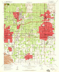
Editions of this 1954 Ontario Map
2 editions found
Other maps of this area

1894 · Pomona
USGS Topo · 1:62,500

1896 · Anaheim
USGS Topo · 1:62,500

1897 · Pomona
USGS Topo · 1:62,500

1897 · Cucamonga
USGS Topo · 1:62,500

1898 · Pomona
USGS Topo · 1:62,500

1898 · Anaheim
USGS Topo · 1:62,500

1900 · Cucamonga
USGS Topo · 1:62,500

1901 · Southern California Sheet No. 1
USGS Topo · 1:250,000

1901 · Anaheim
USGS Topo · 1:62,500

1902 · Corona
USGS Topo · 1:125,000