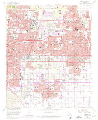
1967 Map of Ontario
USGS Topo · Published 1975About this map
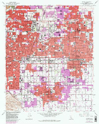
The citrus-belt cities of Claremont, Upland, and Ontario exhibit rapid post-war suburbanization on this mid-1960s sheet, with purple-tinted 1973 revisions showing the expansion of residential tracts across the alluvial plains of San Antonio Creek. The map is a significant record for academic history, detailing the contiguous campuses of the Claremont Colleges, including Scripps College, Harvey Mudd College, and Pitzer College, alongside the Rancho Santa Ana Botanic Garden.
Find a feature on this map
97 named features on this map. Tap any name to fly to it.
Don’t see what you’re looking for? This feature index may not catch every label — zoom into the map to look around manually.
Map Details
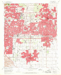
Editions of this 1967 Ontario Map
3 editions found
Other maps of this area

1894 · Pomona
USGS Topo · 1:62,500

1896 · Anaheim
USGS Topo · 1:62,500

1897 · Pomona
USGS Topo · 1:62,500

1897 · Cucamonga
USGS Topo · 1:62,500

1898 · Pomona
USGS Topo · 1:62,500

1898 · Anaheim
USGS Topo · 1:62,500

1900 · Cucamonga
USGS Topo · 1:62,500

1901 · Southern California Sheet No. 1
USGS Topo · 1:250,000

1901 · Anaheim
USGS Topo · 1:62,500

1902 · Corona
USGS Topo · 1:125,000