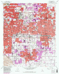
1967 Map of Ontario
USGS Topo · Published 1982About this map
Ontario and its neighboring citrus and aviation hubs are shown during a period of significant urban expansion across the Inland Empire. The landscape is defined by a dense grid of residential and commercial growth, yet traces of its agricultural and early industrial roots remain visible in place names like Sunsweet and the historic Santa Ana Del Chino land grant. This era highlights the area's role as a major transportation nexus, where the Southern Pacific, Union Pacific, and Atchison Topeka and Santa Fe railroads converge near the growing Ontario International Airport. Educational and community anchors like the Chaffey High Sch and the Botanic Garden in Claremont stand alongside established neighborhoods in Upland and Montclair. The map captures the transition of the San Bernardino Valley from a decentralized collection of towns into a connected metropolitan corridor.
Find a feature on this map
166 named features on this map. Tap any name to fly to it.
Don’t see what you’re looking for? This feature index may not catch every label — zoom into the map to look around manually.
Map Details
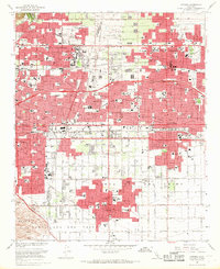
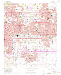
Editions of this 1967 Ontario Map
3 editions found
Other maps of this area

1894 · Pomona
USGS Topo · 1:62,500

1896 · Anaheim
USGS Topo · 1:62,500

1897 · Pomona
USGS Topo · 1:62,500

1897 · Cucamonga
USGS Topo · 1:62,500

1898 · Pomona
USGS Topo · 1:62,500

1898 · Anaheim
USGS Topo · 1:62,500

1900 · Cucamonga
USGS Topo · 1:62,500

1901 · Southern California Sheet No. 1
USGS Topo · 1:250,000

1901 · Anaheim
USGS Topo · 1:62,500

1902 · Corona
USGS Topo · 1:125,000