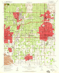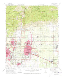
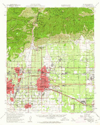
1954 Map of Ontario
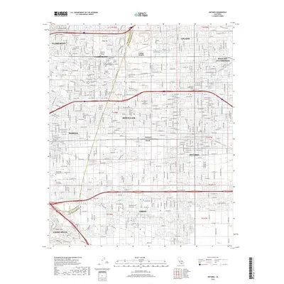
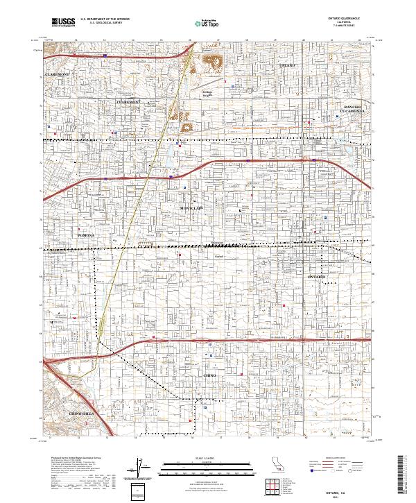
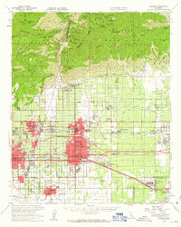
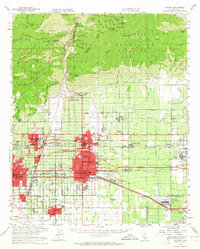
USGS Topo · Published 1973About this map
The San Gabriel Mountains dominate the northern landscape, where peaks like Cucamonga Peak and Ontario Peak overlook the rapid post-war development of the Inland Empire. During the mid-1950s, the citrus-growing heritage of settlements like Alta Loma and Etiwanda began transitioning into more industrial and residential roles. The southern portion reveals a dense transportation grid, centered on the Ontario and Upland areas. Critical infrastructure of the era is evident, including the Ontario International Airport and the nearby California Air Nat'l Guard facility. The map captures the complex rail network of the Pacific Electric, Southern Pacific, and Union Pacific railroads, which facilitated both local transit and transcontinental commerce. Educational landmarks such as the Claremont Colleges and Chaffey HS and Jr College highlight the region's growing civic importance as communities like Pomona and Chino expanded across the valley floor.
Find a feature on this map
72 named features on this map. Tap any name to fly to it.
Don’t see what you’re looking for? This feature index may not catch every label — zoom into the map to look around manually.
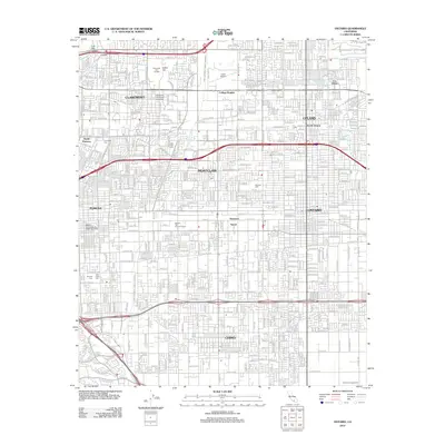
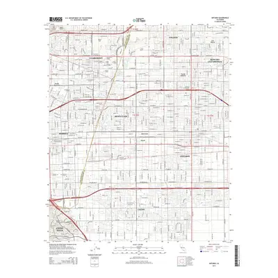
Map Details
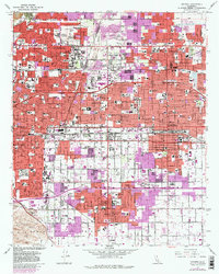
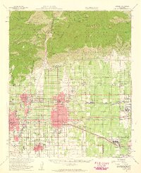
Editions of this 1954 Ontario Map
5 editions found
Historical Maps of Fontana Through Time
7 maps found