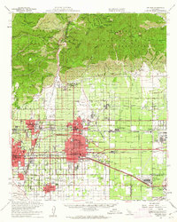
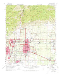
1954 Map of Ontario
USGS Topo · Published 1962About this map
The Santa Ana del Chino land grant and the foothills of the Angeles National Forest define the landscape of the Pomona Valley in the mid-1950s. This survey captures a transitional era as citrus groves and agriculture began to yield to post-war industrial and residential expansion. Significant landmarks include the expansive Steel Plant in Kaiser and the Mira Loma Quartermaster Depot, reflecting the region's importance to defense and manufacturing.
Find a feature on this map
78 named features on this map. Tap any name to fly to it.
Don’t see what you’re looking for? This feature index may not catch every label — zoom into the map to look around manually.
Map Details
Editions of this 1954 Ontario Map
5 editions found
Other maps of this area

1894 · Pomona
USGS Topo · 1:62,500

1896 · Anaheim
USGS Topo · 1:62,500

1896 · San Bernardino
USGS Topo · 1:62,500

1897 · Pomona
USGS Topo · 1:62,500

1897 · Cucamonga
USGS Topo · 1:62,500

1898 · Pomona
USGS Topo · 1:62,500

1898 · San Bernardino
USGS Topo · 1:62,500

1898 · Anaheim
USGS Topo · 1:62,500

1900 · Cucamonga
USGS Topo · 1:62,500

1901 · Southern California Sheet No. 1
USGS Topo · 1:250,000