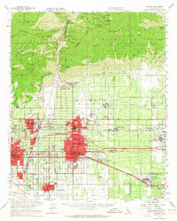
1954 Map of Ontario
USGS Topo · Published 1965About this map
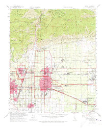
Ontario and its surrounding citrus and industrial heartland sit at the base of the San Gabriel Mountains in this mid-century survey. The landscape is defined by the rigid grid of agricultural and suburban expansion, anchored by the growing Ontario International Airport and a dense network of major railroads including the Southern Pacific and Union Pacific. North of the developing urban cores of Upland and Claremont, the terrain rises sharply into the Angeles National Forest, where deep incisions like San Antonio Canyon and peaks such as Cucamonga Peak dwarf the valley floor.
Find a feature on this map
63 named features on this map. Tap any name to fly to it.
Don’t see what you’re looking for? This feature index may not catch every label — zoom into the map to look around manually.
Map Details
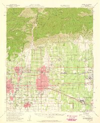
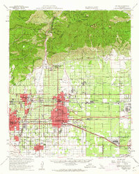
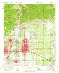
Editions of this 1954 Ontario Map
5 editions found
Other maps of this area

1894 · Pomona
USGS Topo · 1:62,500

1896 · Anaheim
USGS Topo · 1:62,500

1896 · San Bernardino
USGS Topo · 1:62,500

1897 · Pomona
USGS Topo · 1:62,500

1897 · Cucamonga
USGS Topo · 1:62,500

1898 · Pomona
USGS Topo · 1:62,500

1898 · San Bernardino
USGS Topo · 1:62,500

1898 · Anaheim
USGS Topo · 1:62,500

1900 · Cucamonga
USGS Topo · 1:62,500

1901 · Southern California Sheet No. 1
USGS Topo · 1:250,000