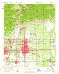
1954 Map of Ontario
USGS Topo · Published 1963About this map
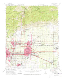
Ontario, Upland, and Pomona anchor this mid-century portrait of the Inland Empire, showing a landscape rapidly transitioning from its citrus-growing roots into a major industrial and transportation hub. The development of the San Bernardino Freeway and the presence of the Ontario International Airport highlight the postwar expansion that redefined the region. Heavy industry is represented by the massive Steel Plant near Kaiser, while the Mira Loma Quartermaster Depot reflects a significant military logistics presence.
Find a feature on this map
94 named features on this map. Tap any name to fly to it.
Don’t see what you’re looking for? This feature index may not catch every label — zoom into the map to look around manually.
Map Details
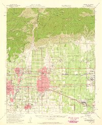
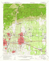
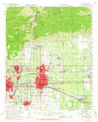
Editions of this 1954 Ontario Map
5 editions found
Other maps of this area

1894 · Pomona
USGS Topo · 1:62,500

1896 · Anaheim
USGS Topo · 1:62,500

1896 · San Bernardino
USGS Topo · 1:62,500

1897 · Pomona
USGS Topo · 1:62,500

1897 · Cucamonga
USGS Topo · 1:62,500

1898 · Pomona
USGS Topo · 1:62,500

1898 · San Bernardino
USGS Topo · 1:62,500

1898 · Anaheim
USGS Topo · 1:62,500

1900 · Cucamonga
USGS Topo · 1:62,500

1901 · Southern California Sheet No. 1
USGS Topo · 1:250,000