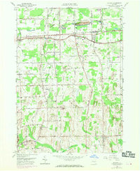
1952 Map of Ontario
USGS Topo · Published 1970About this map
The Penn Central rail line cuts an east-west path through the northern half of this landscape, connecting the agricultural hamlets of Union Hill, Fruitland, and Ontario Center. This mid-century survey, with revisions from 1969, reveals a region defined by a high density of small-scale family burial grounds and crossroads schools, such as School No 1 and School No 6. The terrain is characterized by a series of prominent rises including Negro Hill and Morse Hill, which sit between the winding courses of Fourmile Creek and Mill Creek. To the south, the settlement of Walworth serves as a local hub near Finley Cem, while the infrastructure of the Wayne Central Sch indicates the suburban shifts beginning to reach this part of Wayne County. The presence of several namesake landmarks like Jacobs Hill and Mathewson Hill highlights the enduring legacy of early families in the area.
Find a feature on this map
71 named features on this map. Tap any name to fly to it.
Don’t see what you’re looking for? This feature index may not catch every label — zoom into the map to look around manually.
Map Details
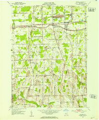
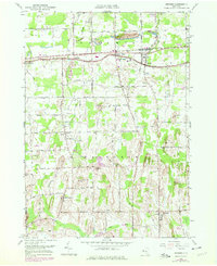
Editions of this 1952 Ontario Map
Other maps of this area

1899 · Palmyra
USGS Topo · 1:62,500

1900 · Macedon
USGS Topo · 1:62,500

1902 · Pultneyville
USGS Topo · 1:62,500

1902 · Palmyra
USGS Topo · 1:62,500

1932 · Webster
USGS Topo · 1:24,000

1932 · Fairport
USGS Topo · 1:24,000

1934 · Fairport
USGS Topo · 1:24,000
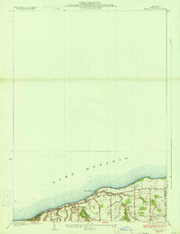
1934 · Ninemile Point
USGS Topo · 1:24,000

1934 · Webster
USGS Topo · 1:24,000

1942 · Ontario
USGS Topo · 1:31,680