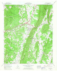
1964 Map of Ooltewah
USGS Topo · Published 1966About this map
White Oak Mountain forms a dramatic central spine across this mid-1960s landscape, separating the developing town of Ooltewah from the expansive Volunteer Ordnance Works to the west. This period captures Collegedale as an educational and institutional hub, anchored by the Southern Missionary College and the Arthur W Spalding School. The influence of the Southern Railway is evident as it cuts through Dead Man Gap and Collegedale Gap, providing a vital corridor that dictated the placement of historic settlements like Summit and Apison.
Find a feature on this map
106 named features on this map. Tap any name to fly to it.
Don’t see what you’re looking for? This feature index may not catch every label — zoom into the map to look around manually.
Map Details
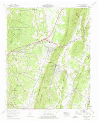
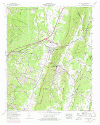
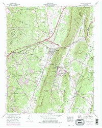
Editions of this 1964 Ooltewah Map
4 editions found
Other maps of this area

1886 · Dalton
USGS Topo · 1:125,000

1886 · Cleveland
USGS Topo · 1:125,000

1886 · Ringgold
USGS Topo · 1:125,000

1888 · Chattanooga
USGS Topo · 1:125,000

1892 · Ringgold
USGS Topo · 1:125,000

1892 · Cleveland
USGS Topo · 1:125,000

1892 · Dalton
USGS Topo · 1:125,000

1893 · Chattanooga
USGS Topo · 1:125,000

1895 · Cleveland
USGS Topo · 1:125,000

1897 · Dalton
USGS Topo · 1:125,000