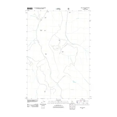
2011 Map of Opal Lake
USGS Topo · Published 2011About this map
Panther Creek carves a deep path through this section of Idaho, serving as the central drainage for a series of high-altitude basins and gulches. The landscape is defined by its ranching and mining history, visible in the presence of the Rabbit Foot Mine in the southern reaches and scattered settlements such as Forney, Merritt Ranch, and Kingsbury Ranch. These outposts represent the enduring presence of land-use patterns in a region where the terrain dictates the location of human activity.
Find a feature on this map
23 named features on this map. Tap any name to fly to it.
Don’t see what you’re looking for? This feature index may not catch every label — zoom into the map to look around manually.
Map Details
Editions of this 2011 Opal Lake Map
This is the sole edition of this map. No revisions or reprints were ever made.
Other maps of this area

1950 · Blackbird Mtn
USGS Topo · 1:62,500

1950 · Leesburg
USGS Topo · 1:62,500

1951 · Leesburg
USGS Topo · 1:62,500

1951 · Blackbird Mtn
USGS Topo · 1:62,500

1956 · Elk City
USGS Topo · 1:250,000

1957 · Challis
USGS Topo · 1:250,000

1960 · Elk City
USGS Topo · 1:250,000

1960 · Challis
USGS Topo · 1:250,000

1963 · Challis
USGS Topo · 1:250,000
1963 · Opal Lake
USGS Topo · 1:24,000