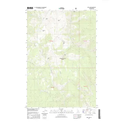
2017 Map of Opal Lake
USGS Topo · Published 2017About this map
Salmon National Forest defines the topography of this Idaho wilderness, where the high country is broken by several prominent basins and steep drainages. The Panther Creek Rd provides the primary corridor through the terrain, following the course of Panther Cr and serving as a lifeline for those navigating the remote interior. The map reveals a series of named alpine basins including McGowan Basin, Moyer Basin, Prairie Basin, and Rooker Basin, which likely served as seasonal landmarks for grazing or early forest management. High-altitude water sources are critical features here, notably the small Opal Lake and the reliably named Bull Spring. For those tracing the history of land use in Lemhi County, the presence of Sawmill Gulch and Treloar Gulch suggests early localized industrial activity or family-named landmarks tied to the development of the region's natural resources.
Find a feature on this map
30 named features on this map. Tap any name to fly to it.
Don’t see what you’re looking for? This feature index may not catch every label — zoom into the map to look around manually.
Map Details
Editions of this 2017 Opal Lake Map
This is the sole edition of this map. No revisions or reprints were ever made.
Other maps of this area
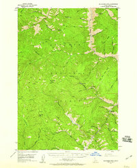
1950 · Blackbird Mtn
USGS Topo · 1:62,500
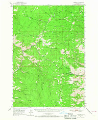
1950 · Leesburg
USGS Topo · 1:62,500
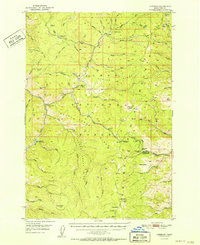
1951 · Leesburg
USGS Topo · 1:62,500
1951 · Blackbird Mtn
USGS Topo · 1:62,500

1956 · Elk City
USGS Topo · 1:250,000

1957 · Challis
USGS Topo · 1:250,000

1960 · Elk City
USGS Topo · 1:250,000

1960 · Challis
USGS Topo · 1:250,000

1963 · Challis
USGS Topo · 1:250,000
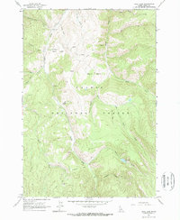
1963 · Opal Lake
USGS Topo · 1:24,000