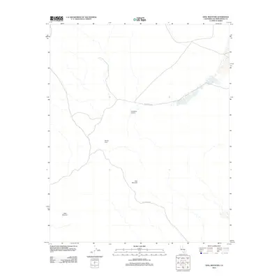
2012 Map of Opal Mountain
USGS Topo · Published 2012About this map
Inscription Canyon serves as a focal point in this high-desert landscape, where the terrain is defined by volcanic features and a network of unpaved desert tracks. The area is dominated by the physical presence of Opal Mountain and Black Mountain, providing a detailed look at the complex topography of the Mojave. This 2012 survey illustrates the sparse but critical transportation routes used for exploration and desert transit, specifically Black Canyon Rd and Opal Mountain Rd, which provide access to secluded spots like Scouts Cove. Geologically and historically significant, the layout of these drainages and peaks offers a clear picture of the region's character just prior to more modern digitizations of the landscape.
Find a feature on this map
6 named features on this map. Tap any name to fly to it.
Don’t see what you’re looking for? This feature index may not catch every label — zoom into the map to look around manually.
Map Details
Editions of this 2012 Opal Mountain Map
This is the sole edition of this map. No revisions or reprints were ever made.
Other maps of this area
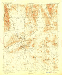
1915 · Searles Lake
USGS Topo · 1:250,000

1947 · Trona
USGS Topo · 1:250,000

1948 · Trona
USGS Topo · 1:250,000

1953 · Trona
USGS Topo · 1:250,000
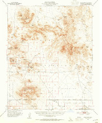
1954 · Pilot Knob
USGS Topo · 1:62,500
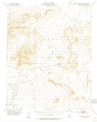
1954 · Cuddeback Lake
USGS Topo · 1:62,500
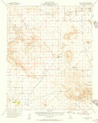
1955 · Opal Mountain
USGS Topo · 1:62,500
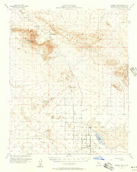
1956 · Fremont Peak
USGS Topo · 1:62,500

1957 · Trona
USGS Topo · 1:250,000
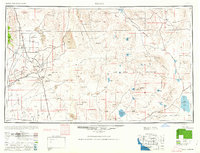
1960 · Trona
USGS Topo · 1:250,000