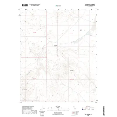
2018 Map of Opal Mountain
USGS Topo · Published 2018About this map
Opal Mtn and the surrounding terrain of the Mojave Desert characterize this high-desert region of San Bernardino County. The landscape is defined by the significant geological formations of Black Mtn and the winding corridor of Black Canyon. One of the most historically significant features is Inscription Canyon, a site known for its archaeological importance, located just north of Scouts Cove. The area is largely undeveloped, with Black Canyon Rd providing the primary thoroughfare through the arid flats of Superior Valley. This survey captures the remote character of the desert prior to modern shifts in land management, preserving the precise locations of named peaks and canyons that are central to local history and exploration in the California interior.
Find a feature on this map
12 named features on this map. Tap any name to fly to it.
Don’t see what you’re looking for? This feature index may not catch every label — zoom into the map to look around manually.
Map Details
Editions of this 2018 Opal Mountain Map
This is the sole edition of this map. No revisions or reprints were ever made.
Other maps of this area
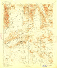
1915 · Searles Lake
USGS Topo · 1:250,000

1947 · Trona
USGS Topo · 1:250,000

1948 · Trona
USGS Topo · 1:250,000

1953 · Trona
USGS Topo · 1:250,000
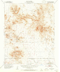
1954 · Pilot Knob
USGS Topo · 1:62,500
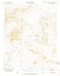
1954 · Cuddeback Lake
USGS Topo · 1:62,500
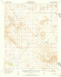
1955 · Opal Mountain
USGS Topo · 1:62,500
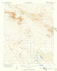
1956 · Fremont Peak
USGS Topo · 1:62,500

1957 · Trona
USGS Topo · 1:250,000
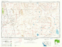
1960 · Trona
USGS Topo · 1:250,000