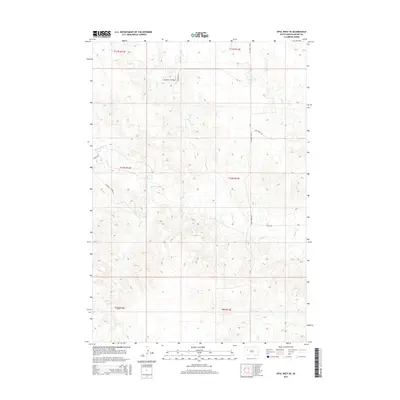
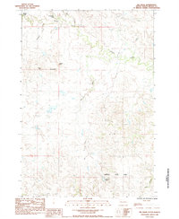
2015 Map of Opal West SE
USGS Topo · Published 2015About this map
Vig Ranch Airfield serves as a remote hub in this sparsely populated stretch of Meade County, where the high plains transition into distinct geological formations. The terrain is defined by the sharp elevations of the Poverty Pinnacles, which rise above a network of seasonal drainage systems including Sulphur Cr and Horse Cr. This 2015 U.S. Geological Survey record indicates a landscape largely dedicated to ranching and utility, with long-distance arteries like Triple Creek Rd and Pine Creek Rd providing the primary access through the townships. The drainage patterns of Rock Cr and Elm Cr illustrate the watershed's complexity in this semi-arid region, where land use is dictated by the rugged topography and the proximity to reliable water sources.
Find a feature on this map
19 named features on this map. Tap any name to fly to it.
Don’t see what you’re looking for? This feature index may not catch every label — zoom into the map to look around manually.
Map Details
Editions of this 2015 Opal West SE Map
This is the sole edition of this map. No revisions or reprints were ever made.
Other maps of this area

1953 · Rapid City
USGS Topo · 1:250,000

1957 · Rapid City
USGS Topo · 1:250,000
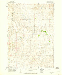
1959 · Redowl
USGS Topo · 1:24,000
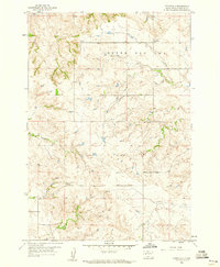
1959 · Stoneville
USGS Topo · 1:24,000
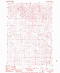
1983 · Whiteman Owl NW
USGS Topo · 1:24,000
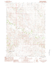
1983 · Opal West SE
USGS Topo · 1:24,000
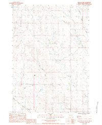
1983 · Squaw Buttes
USGS Topo · 1:24,000
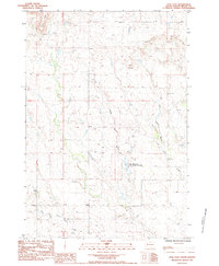
1983 · Opal East
USGS Topo · 1:24,000
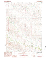
1983 · Opal East SW
USGS Topo · 1:24,000
1983 · Big Draw
USGS Topo · 1:24,000