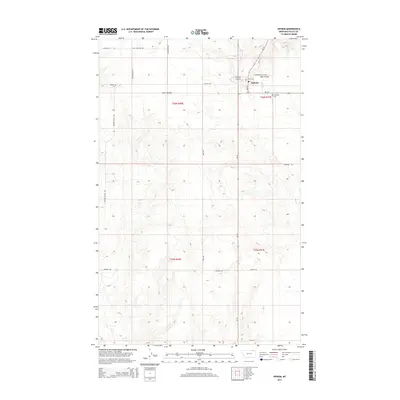
2014 Map of Opheim
USGS Topo · Published 2014About this map
Opheim sits as the central hub of this northern Valley County landscape, positioned at the junction of MT-24 and MT-248. The town’s organized layout, featuring Main ST and 2nd Ave N, is supported by essential infrastructure like the Opheim Airport and the local Post Office. This high-plains geography is defined by its agricultural and resource-oriented road network, including names that hint at local industry and geography such as Coal Mine Hill Rd, Radar Base Rd, and Golden Valley Rd.
Find a feature on this map
26 named features on this map. Tap any name to fly to it.
Don’t see what you’re looking for? This feature index may not catch every label — zoom into the map to look around manually.
Map Details
Editions of this 2014 Opheim Map
This is the sole edition of this map. No revisions or reprints were ever made.
Other maps of this area
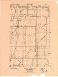
1919 · Boundary
USGS Topo · 1:125,000

1954 · Glasgow
USGS Topo · 1:250,000

1957 · Glasgow
USGS Topo · 1:250,000

1958 · Glasgow
USGS Topo · 1:250,000
1973 · Glentana West
USGS Topo · 1:24,000
1973 · Baylor NE
USGS Topo · 1:24,000
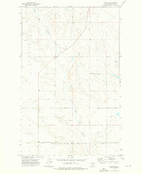
1973 · Baylor
USGS Topo · 1:24,000
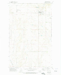
1973 · Opheim
USGS Topo · 1:24,000
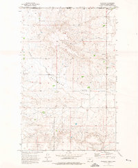
1973 · Roanwood
USGS Topo · 1:24,000
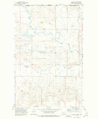
1973 · Glass Hill
USGS Topo · 1:24,000