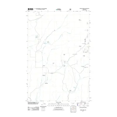
2011 Map of Ophir Creek
USGS Topo · Published 2011About this map
Ophir Creek and its many tributaries carve through this Montana landscape, which is defined by a legacy of mining and small mountain settlements. The map shows several specific extraction sites, including the Victory Mine and the Victory/Evening Star Mine, alongside numerous unnamed prospects identified by their section locations, such as the NE SW Section 29 Mine. These industrial markers are concentrated near Illinois Ridge and Illinois Gulch, suggesting a historical focus of activity in these drainages.
Find a feature on this map
34 named features on this map. Tap any name to fly to it.
Don’t see what you’re looking for? This feature index may not catch every label — zoom into the map to look around manually.
Map Details
Editions of this 2011 Ophir Creek Map
This is the sole edition of this map. No revisions or reprints were ever made.
Other maps of this area

1889 · Helena
USGS Topo · 1:250,000

1893 · Helena
USGS Topo · 1:250,000

1899 · Helena
USGS Topo · 1:250,000

1903 · Helena
USGS Topo · 1:250,000

1947 · Butte
USGS Topo · 1:250,000

1958 · Butte
USGS Topo · 1:250,000

1958 · Avon
USGS Topo · 1:62,500

1959 · Elliston
USGS Topo · 1:62,500

1960 · Butte
USGS Topo · 1:250,000

1962 · Butte
USGS Topo · 1:250,000