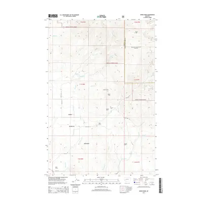
2014 Map of Ophir Creek
USGS Topo · Published 2014About this map
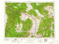
Quigley and McGillvary sit along the creek-carved drainages of the Helena National Forest in this 2014 topographic study of the Montana landscape. The map highlights the rugged intersection of the Powell and Lewis and Clark county lines, where high elevations like Black Mtn overlook deep-cut ravines including Illinois Gulch and Ohio Gulch. This modern survey documents a persistent network of mountain roads such as Ophir Creek Rd and Georgia Creek Rd that navigate the drainages of Sixmile Cr, Threemile Cr, and Ballarat Cr. Genealogists may find particular interest in the Blackfoot Cem, located near Illinois Ridge, while hydrologists can trace the many water sources feeding the Avon Valley, including Warm Spring Cr and Beaver Pond.
Find a feature on this map
32 named features on this map. Tap any name to fly to it.
Don’t see what you’re looking for? This feature index may not catch every label — zoom into the map to look around manually.
Map Details
Editions of this 2014 Ophir Creek Map
This is the sole edition of this map. No revisions or reprints were ever made.
Other maps of this area
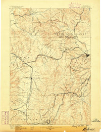
1889 · Helena
USGS Topo · 1:250,000
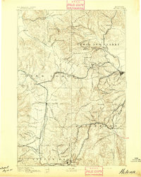
1893 · Helena
USGS Topo · 1:250,000
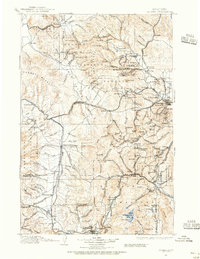
1899 · Helena
USGS Topo · 1:250,000
1903 · Helena
USGS Topo · 1:250,000

1947 · Butte
USGS Topo · 1:250,000

1958 · Butte
USGS Topo · 1:250,000
1958 · Avon
USGS Topo · 1:62,500
1959 · Elliston
USGS Topo · 1:62,500
1960 · Butte
USGS Topo · 1:250,000
1962 · Butte
USGS Topo · 1:250,000