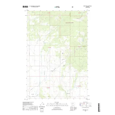
2020 Map of Ophir Creek
USGS Topo · Published 2020About this map
Avon serves as the primary settlement hub at the southern edge of this landscape, situated within the fertile Avon Valley. The terrain rises sharply to the north and east, marked by significant elevations like Black Mtn and the prominent Illinois Ridge. Waterways define the local geography, with Ophir Cr and its tributaries such as N Fork Ophir Cr carving through the gulches of the Helena National Forest.
Find a feature on this map
34 named features on this map. Tap any name to fly to it.
Don’t see what you’re looking for? This feature index may not catch every label — zoom into the map to look around manually.
Map Details
Editions of this 2020 Ophir Creek Map
This is the sole edition of this map. No revisions or reprints were ever made.
Other maps of this area

1889 · Helena
USGS Topo · 1:250,000

1893 · Helena
USGS Topo · 1:250,000

1899 · Helena
USGS Topo · 1:250,000

1903 · Helena
USGS Topo · 1:250,000

1947 · Butte
USGS Topo · 1:250,000

1958 · Butte
USGS Topo · 1:250,000

1958 · Avon
USGS Topo · 1:62,500

1959 · Elliston
USGS Topo · 1:62,500

1960 · Butte
USGS Topo · 1:250,000

1962 · Butte
USGS Topo · 1:250,000