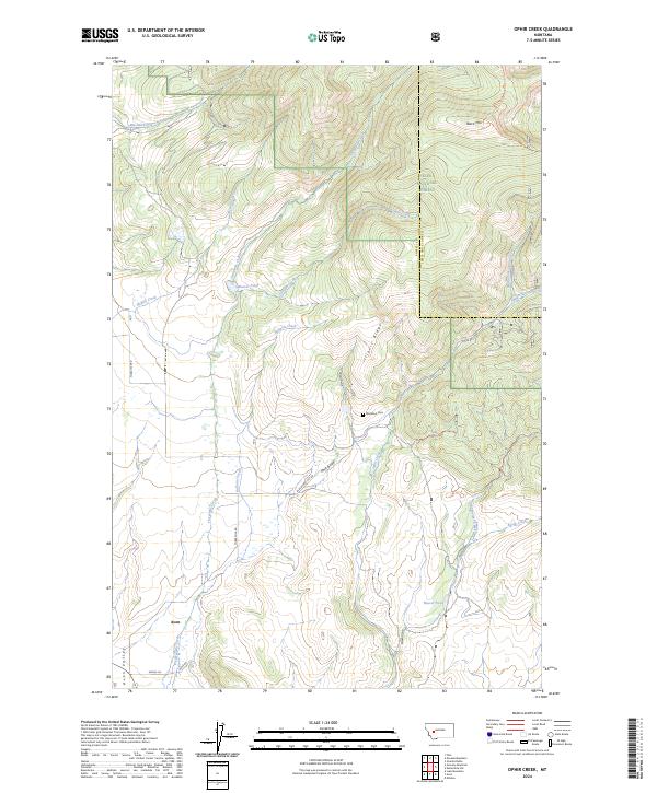
2024 Map of Ophir Creek
USGS Topo · Published 2024About this map
Avon serves as the primary settlement hub in this part of the Avon Valley, where the confluence of several mountain drainages meets the valley floor. The map highlights a landscape defined by its high-altitude topography, featuring Black Mtn and the prominent Illinois Ridge. Significant for recreation and modern conservation, the Continental Divide National Scenic Trail winds through the eastern heights within the Helena National Forest, tracing the boundary between Powell and Lewis and Clark counties.
Find a feature on this map
32 named features on this map. Tap any name to fly to it.
Don’t see what you’re looking for? This feature index may not catch every label — zoom into the map to look around manually.
Map Details
Editions of this 2024 Ophir Creek Map
This is the sole edition of this map. No revisions or reprints were ever made.
Other maps of this area

1889 · Helena
USGS Topo · 1:250,000

1893 · Helena
USGS Topo · 1:250,000

1899 · Helena
USGS Topo · 1:250,000

1903 · Helena
USGS Topo · 1:250,000

1947 · Butte
USGS Topo · 1:250,000

1958 · Butte
USGS Topo · 1:250,000

1958 · Avon
USGS Topo · 1:62,500

1959 · Elliston
USGS Topo · 1:62,500

1960 · Butte
USGS Topo · 1:250,000

1962 · Butte
USGS Topo · 1:250,000