1980 Map of Ophir
USGS Topo · Published 1980About this map
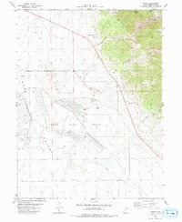
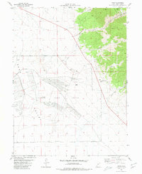
Ophir sits at the head of a canyon on the western slopes of the Oquirrh Mountains, a location defined by the intensive extraction of silver and other minerals. This 1980 survey illustrates the complex industrial footprint of the district, where Tailings Ponds and numerous Mines, including the Montana Mine, dot the steep terrain around Dry Mountain and Lion Hill. The map captures the stark transition from these high-altitude mining operations to the expansive floor of Rush Valley below.
Find a feature on this map
25 named features on this map. Tap any name to fly to it.
Don’t see what you’re looking for? This feature index may not catch every label — zoom into the map to look around manually.
Map Details
Editions of this 1980 Ophir Map
2 editions found
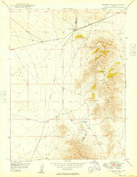
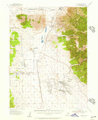
Other maps of this area

1885 · Tooele Valley
USGS Topo · 1:250,000

1915 · Fairfield
USGS Topo · 1:62,500

1917 · Fairfield
USGS Topo · 1:62,500

1918 · Stockton
USGS Topo · 1:62,500

1947 · Fivemile Pass
USGS Topo · 1:62,500
1949 · Fivemile Pass
USGS Topo · 1:24,000

1953 · Tooele
USGS Topo · 1:250,000
1955 · Stockton
USGS Topo · 1:62,500

1955 · Tooele
USGS Topo · 1:250,000

1968 · Mercur
USGS Topo · 1:24,000