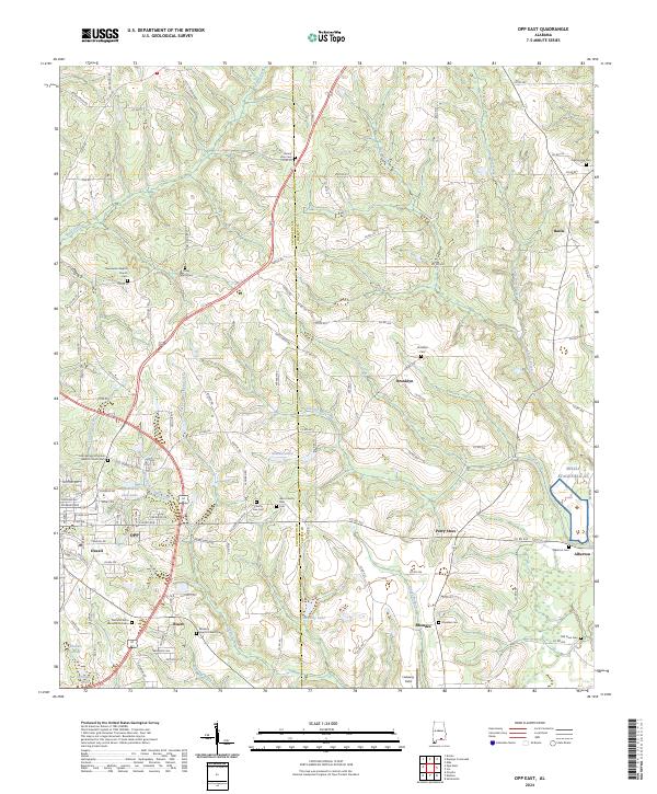
2024 Map of Opp East
USGS Topo · Published 2024About this map
The boundary between Covington and Coffee counties bisects this landscape of rolling creeks and scattered rural communities. While the eastern edge of Opp occupies the southwestern corner, smaller historic settlements such as Brooklyn, Alberton, and Rhoades define the surrounding countryside. These areas are characterized by deep-rooted family landmarks, including several country churches like Sweetwater Baptist Church and Bethany Baptist Church.
Find a feature on this map
132 named features on this map. Tap any name to fly to it.
Don’t see what you’re looking for? This feature index may not catch every label — zoom into the map to look around manually.
Map Details
Editions of this 2024 Opp East Map
This is the sole edition of this map. No revisions or reprints were ever made.
Other maps of this area

1953 · Andalusia
USGS Topo · 1:250,000

1957 · Andalusia
USGS Topo · 1:250,000

1968 · Danleys Crossroads
USGS Topo · 1:24,000
1968 · Ino
USGS Topo · 1:24,000
1968 · Sellersville
USGS Topo · 1:24,000

1968 · Opp East
USGS Topo · 1:24,000
1968 · Elba
USGS Topo · 1:24,000
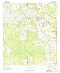
1969 · Kinston
USGS Topo · 1:24,000

1971 · Dozier
USGS Topo · 1:24,000

1971 · Onycha
USGS Topo · 1:24,000