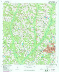
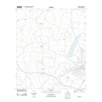
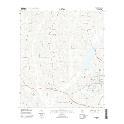
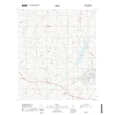
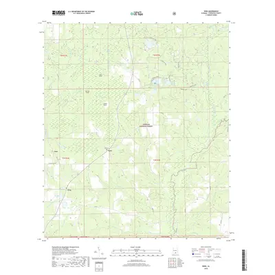
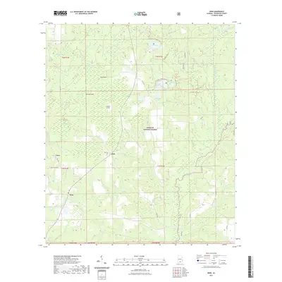
1971 Map of Opp West
USGS Topo · Published 1986About this map
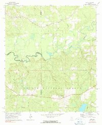
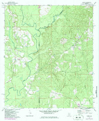
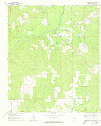
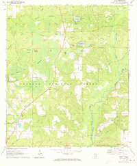
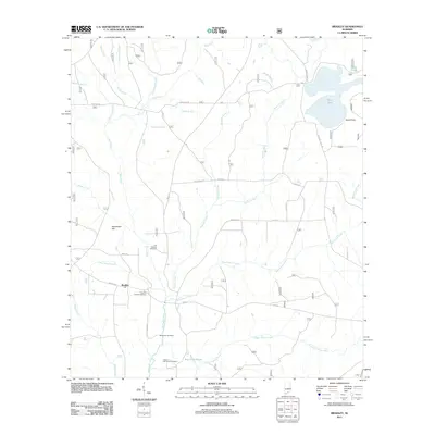
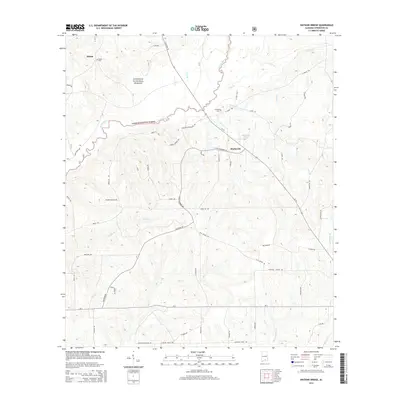
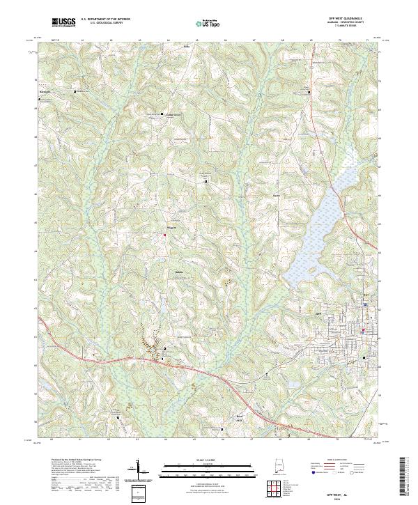
Opp emerges as a developing regional hub in Covington County, with its eastern street grid and municipal facilities appearing alongside the Seaboard Coast Line railroad. This survey, updated with mid-1980s photographic revisions, reveals the town's expansion toward the Opp corporate boundary, evidenced by the construction of the Municipal Stadium and Douglas MacArthur State Tech Inst. Beyond the town limits, the landscape transitions into a network of rural settlements like Babbie and Wiggins, connected by secondary roads and family-named landmarks. The topography is defined by the drainage of the Yellow River and its tributaries, including Poley Creek and Lightwood Knot Creek. Notable local history markers include the Henderson Cem and Sweet Home Ch Cem, alongside several country churches that anchored these woodland communities before modern highway development reshaped the area's movement patterns.
Find a feature on this map
56 named features on this map. Tap any name to fly to it.
Don’t see what you’re looking for? This feature index may not catch every label — zoom into the map to look around manually.
Map Details
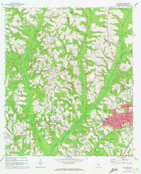
Editions of this 1971 Opp West Map
2 editions found
Historical Maps of Opp Through Time
42 maps found
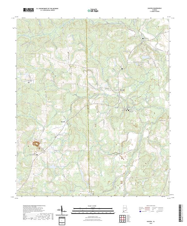
1969 Hacoda
Covington County, AL
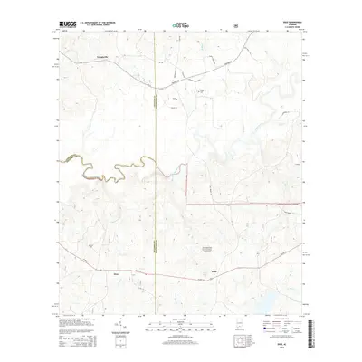
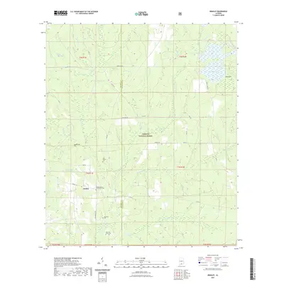
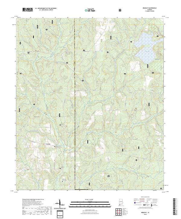
1971 Bradley
Covington County, AL
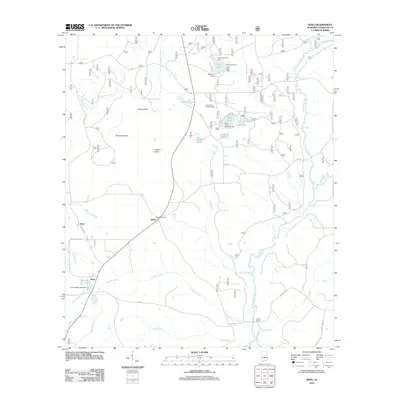
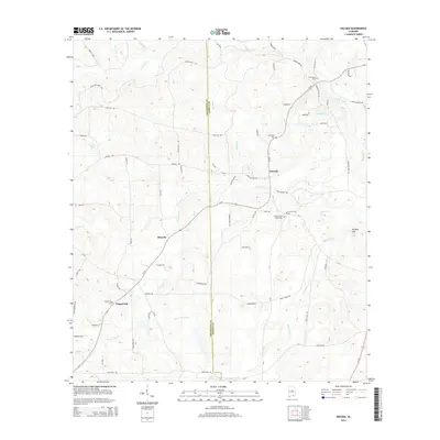
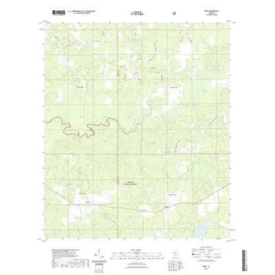
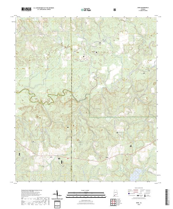
1971 Dixie
Covington County, AL
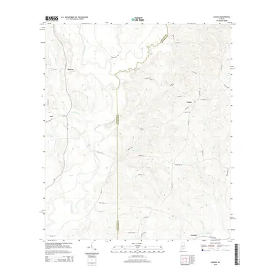
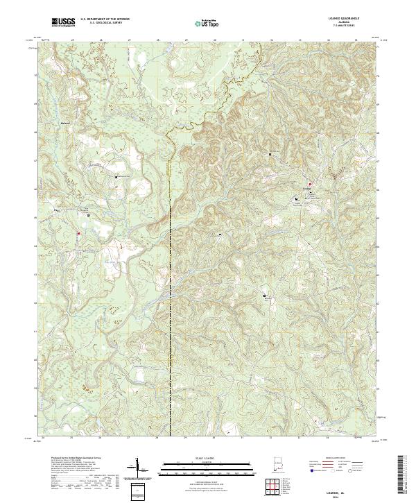
1971 Loango
Covington County, AL
1971 Opp West
Covington County, AL
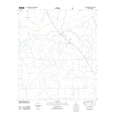
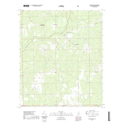
1971 Watkins Bridge
Covington County, AL
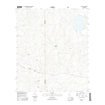
1971 Wing
Covington County, AL
2011 Bradley
Covington County, AL
2011 Dixie
Covington County, AL
2011 Hacoda
Covington County, AL
2011 Loango
Covington County, AL
2011 Opp West
Covington County, AL
2011 Watkins Bridge
Covington County, AL
2011 Wing
Covington County, AL
2014 Bradley
Covington County, AL
2014 Dixie
Covington County, AL
2014 Hacoda
Covington County, AL
2014 Loango
Covington County, AL
2014 Opp West
Covington County, AL
2014 Watkins Bridge
Covington County, AL
2014 Wing
Covington County, AL
2018 Bradley
Covington County, AL
2018 Dixie
Covington County, AL
2018 Hacoda
Covington County, AL
2018 Loango
Covington County, AL
2018 Opp West
Covington County, AL
2018 Watkins Bridge
Covington County, AL
2018 Wing
Covington County, AL
2020 Hacoda
Covington County, AL
2020 Loango
Covington County, AL
2020 Opp West
Covington County, AL
2021 Bradley
Covington County, AL
2021 Dixie
Covington County, AL
2021 Watkins Bridge
Covington County, AL
2021 Wing
Covington County, AL
2024 Bradley
Covington County, AL
2024 Dixie
Covington County, AL
2024 Hacoda
Covington County, AL
2024 Loango
Covington County, AL
2024 Opp West
Covington County, AL
2024 Watkins Bridge
Covington County, AL
2024 Wing
Covington County, AL