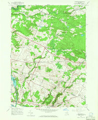
1945 Map of Oppenheim
USGS Topo · Published 1966About this map
The Mohawk River valley corridor and the southern fringes of the Adirondack Park define this 1945 landscape, where the New York Central railroad tracks parallel the river at St Johnsville. Further north, the terrain transitions into a patchwork of rural hamlets and family-named corners such as Phipps Corners, Doxtater Corner, and Rasbach Corner. The settlement of Oppenheim serves as a central hub for the upland farming communities, which supported numerous local schoolhouses like Bacon Brook Sch and Yonker Bush Sch.
Find a feature on this map
44 named features on this map. Tap any name to fly to it.
Don’t see what you’re looking for? This feature index may not catch every label — zoom into the map to look around manually.
Map Details
Editions of this 1945 Oppenheim Map
2 editions found
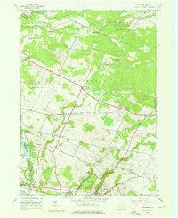
Other maps of this area

1898 · Canajoharie
USGS Topo · 1:62,500

1900 · Little Falls
USGS Topo · 1:62,500

1900 · Canajoharie
USGS Topo · 1:62,500

1901 · Lassellsville
USGS Topo · 1:62,500

1902 · Canajoharie
USGS Topo · 1:62,500

1903 · Richfield Springs
USGS Topo · 1:62,500

1903 · Lassellsville
USGS Topo · 1:62,500

1903 · Little Falls
USGS Topo · 1:62,500

1939 · Little Falls
USGS Topo · 1:62,500
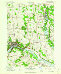
1943 · Little Falls
USGS Topo · 1:24,000