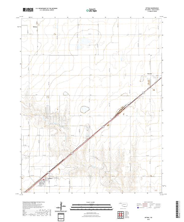
2022 Map of Optima
USGS Topo · Published 2022About this map
Optima is the primary settlement on this Texas County high plains map, situated at the junction of Co Hwy 19 and the diagonal highway corridor. The landscape is characterized by a precise rectilinear grid of section roads, including Mile 40 Rd and K Rd, which define the agricultural and ranching operations of the region. Local water drainage is represented by Pony Cr, which winds through the central portion of the quadrangle. Smaller named locales such as Panoma and Midway mark the northern reaches of the area, illustrating the sparse but deliberate distribution of communities along the plains. The map's detailed road network, from Co Hwy 7 to numerous numbered section lines like N0950 Rd, offers a clear view of the region's infrastructure and land division.
Find a feature on this map
49 named features on this map. Tap any name to fly to it.
Don’t see what you’re looking for? This feature index may not catch every label — zoom into the map to look around manually.
Map Details
Editions of this 2022 Optima Map
This is the sole edition of this map. No revisions or reprints were ever made.
Other maps of this area

1954 · Perryton
USGS Topo · 1:250,000

1958 · Perryton
USGS Topo · 1:250,000

1967 · Straight
USGS Topo · 1:24,000

1967 · Straight NE
USGS Topo · 1:24,000

1967 · Straight SW
USGS Topo · 1:24,000

1967 · Optima
USGS Topo · 1:24,000

1967 · Hooker
USGS Topo · 1:24,000

1967 · Hooker NW
USGS Topo · 1:24,000

1968 · Optima Dam
USGS Topo · 1:24,000

1968 · Guymon
USGS Topo · 1:24,000