
1940 Map of Oquossoc
USGS Topo · Published 1955About this map
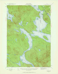
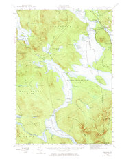
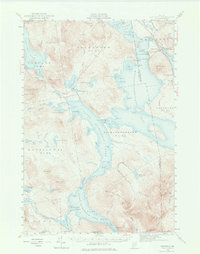
Oquossoc stands as a central settlement in this 1940 survey of the Rangeley Lakes region, situated where the Kennebago River meets the eastern shore of Cupsuptic Lake. The landscape is defined by a complex hydraulic network of reservoirs and timber-driving infrastructure, including the Aziscohos Dam on the western edge and the strategic Upper Dam and Middle Dam controlling the flow between the Richardson Lakes. This era reflects the region's dual identity as both a logging powerhouse and a destination for sportsmen, evidenced by the scattered camps at Mountainview and South Rangeley. Topographical detail reveals the isolation of the western townships like Magalloway T 5 R 1, where the Melrose Trail and several ponds such as East Richardson Ponds provided the primary access through the dense woods and over heights like Aziscohos Mtn and Elephant Mtn.
Find a feature on this map
95 named features on this map. Tap any name to fly to it.
Don’t see what you’re looking for? This feature index may not catch every label — zoom into the map to look around manually.
Map Details
Editions of this 1940 Oquossoc Map
4 editions found
Other maps of this area

1927 · Rumford
USGS Topo · 1:48,000

1927 · Second Lake
USGS Topo · 1:62,500

1930 · Rumford
USGS Topo · 1:62,500

1930 · Milan
USGS Topo · 1:62,500

1930 · Errol
USGS Topo · 1:62,500

1931 · Cupsuptic
USGS Topo · 1:48,000

1932 · Kennebago Lake
USGS Topo · 1:48,000

1932 · Second Lake
USGS Topo · 1:62,500

1933 · Rangeley
USGS Topo · 1:48,000

1933 · Milan
USGS Topo · 1:62,500