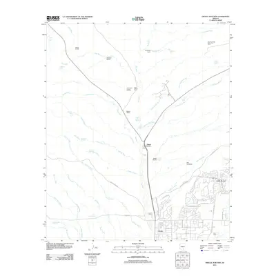
2011 Map of Oracle Junction
USGS Topo · Published 2011About this map
Oracle Junction serves as the focal point of this arid landscape, where the convergence of desert washes and modern development reveals a region in transition. The map captures the suburban expansion of Saddle Brooke and Catalina to the south, contrasted against the expansive ranching and research lands to the north. Features such as the Page-Trowbridge Experimental Ranch and Falcon Valley Ranch underscore the area's history of land management and agriculture. The terrain is defined by an intricate network of ephemeral watercourses including Big Wash, Chirreon Wash, and Carpas Wash, which dictate the placement of local infrastructure. Small-scale water management is evident through numerous landmarks like Small Hill Reservoir, Chalk Reservoir, and several stock tanks including Crescent Tank and Tascal Tank, highlighting the essential role of water in this high-desert environment.
Find a feature on this map
61 named features on this map. Tap any name to fly to it.
Don’t see what you’re looking for? This feature index may not catch every label — zoom into the map to look around manually.
Map Details
Editions of this 2011 Oracle Junction Map
This is the sole edition of this map. No revisions or reprints were ever made.
Other maps of this area
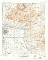
1904 · Tucson
USGS Topo · 1:125,000
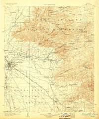
1905 · Tucson
USGS Topo · 1:125,000
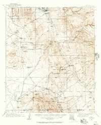
1911 · Winkelman
USGS Topo · 1:125,000
1913 · Winkelman
USGS Topo · 1:125,000
1934 · Tucson Mountains
USGS Topo · 1:125,000
1934 · Newman Peak
USGS Topo · 1:125,000
1947 · Cortaro
USGS Topo · 1:62,500

1956 · Tucson
USGS Topo · 1:250,000
1957 · Cortaro
USGS Topo · 1:62,500
1957 · Mount Lemmon
USGS Topo · 1:62,500