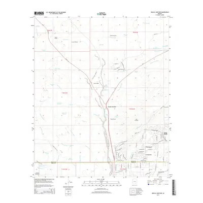
2014 Map of Oracle Junction
USGS Topo · Published 2014About this map
Oracle Junction sits at the strategic convergence of Az-77 and Az-79 in this 2014 survey of the desert landscape north of Tucson. The map captures a moment of suburban expansion into the high desert, most notably within the master-planned streets of Saddle Brooke and the developing residential grid of Catalina. These modern enclaves contrast sharply with the surrounding drainage networks of the Suizo Wash, Chirreon Wash, and Batamote Wash, which define the hydrological character of the basin.
Find a feature on this map
99 named features on this map. Tap any name to fly to it.
Don’t see what you’re looking for? This feature index may not catch every label — zoom into the map to look around manually.
Map Details
Editions of this 2014 Oracle Junction Map
This is the sole edition of this map. No revisions or reprints were ever made.
Other maps of this area
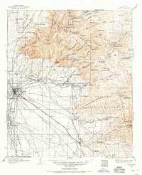
1904 · Tucson
USGS Topo · 1:125,000
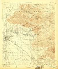
1905 · Tucson
USGS Topo · 1:125,000
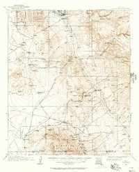
1911 · Winkelman
USGS Topo · 1:125,000
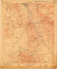
1913 · Winkelman
USGS Topo · 1:125,000
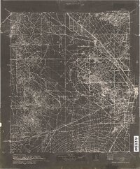
1934 · Tucson Mountains
USGS Topo · 1:125,000
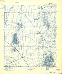
1934 · Newman Peak
USGS Topo · 1:125,000
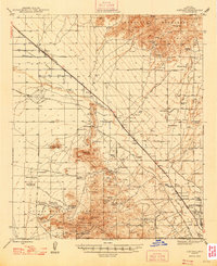
1947 · Cortaro
USGS Topo · 1:62,500

1956 · Tucson
USGS Topo · 1:250,000
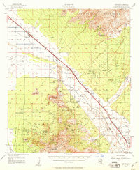
1957 · Cortaro
USGS Topo · 1:62,500
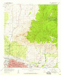
1957 · Mount Lemmon
USGS Topo · 1:62,500