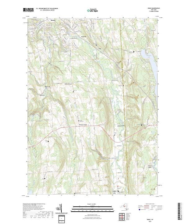
2023 Map of Oran
USGS Topo · Published 2023About this map
Limestone Creek and its western branch carve through a series of dramatic ravines and glacial features such as Hatch Gulf and Brown Gulf in this corner of Onondaga County. This landscape is defined by its verticality, where water drops over Edwards Falls and Brickyard Falls near Buellville and Manlius. The settlement pattern follows these watercourses and the productive valleys between the ridges, connecting small hamlets like Pompey Center and Atwell Corners across the undulating terrain. Significant genealogy resources are scattered throughout the hills, including numerous family and community burial grounds such as Southwell Cem and the Blocktown Cem near the southern boundary. To the east, the map captures the western shoreline of Cazenovia Lake, while the village of Delphi Falls sits near the Delphi Falls Baptist Church in the southeast.
Find a feature on this map
118 named features on this map. Tap any name to fly to it.
Don’t see what you’re looking for? This feature index may not catch every label — zoom into the map to look around manually.
Map Details
Editions of this 2023 Oran Map
This is the sole edition of this map. No revisions or reprints were ever made.
Other maps of this area

1895 · Chittenango
USGS Topo · 1:62,500

1895 · Syracuse
USGS Topo · 1:62,500

1897 · Cazenovia
USGS Topo · 1:62,500

1898 · Syracuse
USGS Topo · 1:62,500

1898 · Chittenango
USGS Topo · 1:62,500

1899 · Cazenovia
USGS Topo · 1:62,500

1900 · Tully
USGS Topo · 1:62,500

1902 · Chittenango
USGS Topo · 1:62,500

1938 · Syracuse East
USGS Topo · 1:24,000

1942 · Oran
USGS Topo · 1:24,000