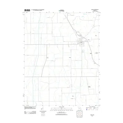
2012 Map of Oran
USGS Topo · Published 2012About this map
Oran serves as the central hub for this portion of Scott County, positioned at the convergence of several rural thoroughfares and rail lines. The landscape is heavily marked by small family and community burial grounds, such as Friends Cemetery, Guardian Angel Cemetery, and Warfield Cemetery, which point to a deep-rooted lineage of early settlement. To the east, the community of Bleda sits near the Lookout Mountain Resort Dam, while further south, the map identifies small locales like Parker and Brooks Junction. The drainage patterns of Caney Creek and Little River reflect the low-lying agricultural character of the region, where a dense network of county roads like Co HWY-282 and John Deere Rd facilitates the local farming economy. The distribution of these features across the quadrangle illustrates a classic Missouri Bootheel agricultural landscape of the early 21st century.
Find a feature on this map
49 named features on this map. Tap any name to fly to it.
Don’t see what you’re looking for? This feature index may not catch every label — zoom into the map to look around manually.
Map Details
Editions of this 2012 Oran Map
This is the sole edition of this map. No revisions or reprints were ever made.
Other maps of this area

1931 · Sikeston
USGS Topo · 1:62,500

1934 · Morley
USGS Topo · 1:62,500

1934 · Bloomfield
USGS Topo · 1:62,500

1934 · Sikeston
USGS Topo · 1:62,500

1934 · Advance
USGS Topo · 1:62,500

1939 · Bloomfield
USGS Topo · 1:62,500

1939 · Sikeston
USGS Topo · 1:62,500

1939 · Morley
USGS Topo · 1:62,500

1939 · Advance
USGS Topo · 1:62,500

1949 · Paducah
USGS Topo · 1:250,000