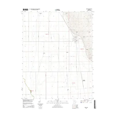
2015 Map of Oran
USGS Topo · Published 2015About this map
Oran serves as the primary hub of this eastern Missouri landscape, situated where the lowlands of the Mississippi embayment meet the rising terrain of the eastern ridges. The map reveals a highly structured grid of county roads, such as Co Road 277 and CR-420, that traverse the drainage basins of the Little River and Caney Cr. This area is characterized by its agricultural heritage and extensive water management, evidenced by the broad Old Caney Basin and the presence of several small-scale water bodies like Effink Lake and Lookout Mountain Resort Lake. Family and community history is deeply rooted here, indicated by the numerous burial grounds scattered across the townships, including Guardian Angel Cemetery, Friends Cemetery, and the Warfield Cemetery. Smaller settlement points like Bleda and Brooks Junction mark the intersections of the rural road network, while the railroad line passing through Oran underscores the importance of regional transport to this corner of Scott County.
Find a feature on this map
66 named features on this map. Tap any name to fly to it.
Don’t see what you’re looking for? This feature index may not catch every label — zoom into the map to look around manually.
Map Details
Editions of this 2015 Oran Map
This is the sole edition of this map. No revisions or reprints were ever made.
Other maps of this area

1931 · Sikeston
USGS Topo · 1:62,500

1934 · Morley
USGS Topo · 1:62,500

1934 · Bloomfield
USGS Topo · 1:62,500

1934 · Sikeston
USGS Topo · 1:62,500

1934 · Advance
USGS Topo · 1:62,500

1939 · Bloomfield
USGS Topo · 1:62,500

1939 · Sikeston
USGS Topo · 1:62,500

1939 · Morley
USGS Topo · 1:62,500

1939 · Advance
USGS Topo · 1:62,500

1949 · Paducah
USGS Topo · 1:250,000