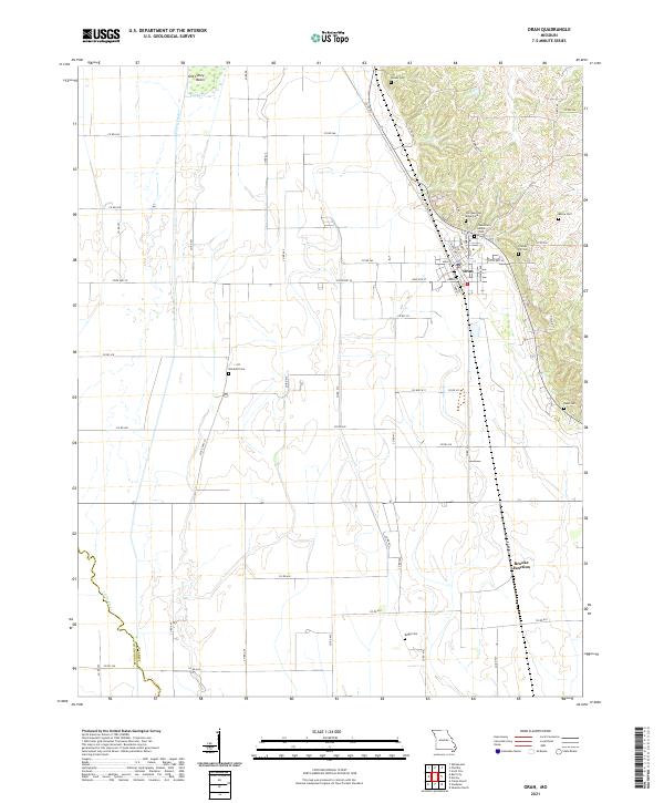
2021 Map of Oran
USGS Topo · Published 2021About this map
Oran serves as the primary hub in this Scott County landscape, situated where the undulating hills of the east meet the more level agricultural plains to the west. This 2021 survey reveals a high density of rural burial sites, highlighting the area's deep family roots with locations like Old Guardian Angel Cem, Guardian Angel Cem, and Friends Hill Cem. The southern reach of the map features Brooks Junction, a vital point of transit where the local road network converges.
Find a feature on this map
61 named features on this map. Tap any name to fly to it.
Don’t see what you’re looking for? This feature index may not catch every label — zoom into the map to look around manually.
Map Details
Editions of this 2021 Oran Map
This is the sole edition of this map. No revisions or reprints were ever made.
Other maps of this area
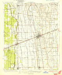
1931 · Sikeston
USGS Topo · 1:62,500
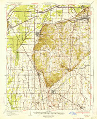
1934 · Morley
USGS Topo · 1:62,500
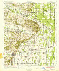
1934 · Bloomfield
USGS Topo · 1:62,500
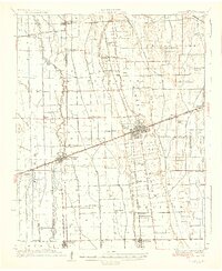
1934 · Sikeston
USGS Topo · 1:62,500
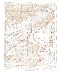
1934 · Advance
USGS Topo · 1:62,500
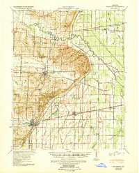
1939 · Bloomfield
USGS Topo · 1:62,500
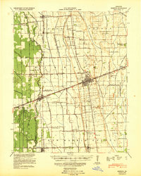
1939 · Sikeston
USGS Topo · 1:62,500
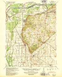
1939 · Morley
USGS Topo · 1:62,500
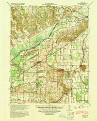
1939 · Advance
USGS Topo · 1:62,500

1949 · Paducah
USGS Topo · 1:250,000