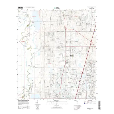
2015 Map of Orange City
USGS Topo · Published 2015About this map
The Saint Johns River defines the western edge of this landscape, meandering past Hontoon Island and forming complex bends like Dutchmans Bend and Coxetters Bend. To the east, the terrain transitions from these wetlands into the established communities of Orange City, Deltona, and Debary. This era shows a dense network of suburban development intertwined with numerous small lakes such as Lake Anna Marie and Lake Gleason.
Find a feature on this map
75 named features on this map. Tap any name to fly to it.
Don’t see what you’re looking for? This feature index may not catch every label — zoom into the map to look around manually.
Map Details
Editions of this 2015 Orange City Map
This is the sole edition of this map. No revisions or reprints were ever made.
Other maps of this area

1954 · Daytona Beach
USGS Topo · 1:250,000

1955 · Orlando
USGS Topo · 1:250,000

1957 · Orlando
USGS Topo · 1:250,000

1958 · Orlando
USGS Topo · 1:250,000

1958 · Daytona Beach
USGS Topo · 1:250,000

1962 · Orlando
USGS Topo · 1:250,000

1962 · Pine Lakes
USGS Topo · 1:24,000

1962 · Daytona Beach SW
USGS Topo · 1:24,000

1962 · Lake Woodruff
USGS Topo · 1:24,000

1964 · Daytona Beach
USGS Topo · 1:250,000