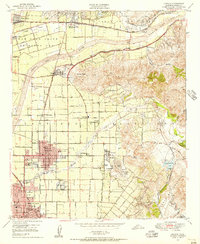
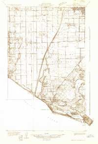
1949 Map of Orange
USGS Topo · Published 1956About this map
Agricultural groves and developing residential blocks characterize the Santa Ana Valley at mid-century, where the city of Orange and the northern edge of Santa Ana anchor a landscape defined by water and transport. The Santa Ana River winds through the northern portion of the quadrangle, flanked by a massive Levee and the tracks of the Atchison Topeka and Santa Fe railroad. This era shows the dense network of local schools serving the growing population, from Killefer Sch to Union H S, alongside established institutions like St Josephs Hosp and the Courthouse.
Find a feature on this map
71 named features on this map. Tap any name to fly to it.
Don’t see what you’re looking for? This feature index may not catch every label — zoom into the map to look around manually.
Map Details
Editions of this 1949 Orange Map
This is the sole edition of this map. No revisions or reprints were ever made.
Other maps of this area

1896 · Santa Ana
USGS Topo · 1:62,500

1896 · Anaheim
USGS Topo · 1:62,500

1898 · Anaheim
USGS Topo · 1:62,500

1901 · Southern California Sheet No. 1
USGS Topo · 1:250,000
1901 · Santa Ana
USGS Topo · 1:62,500
1901 · Anaheim
USGS Topo · 1:62,500

1902 · Corona
USGS Topo · 1:125,000

1904 · Southern California Sheet No. 1
USGS Topo · 1:250,000
1932 · Orange
USGS Topo · 1:31,680
1932 · Newport Beach
USGS Topo · 1:31,680