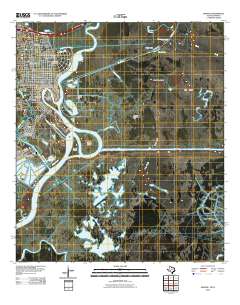
1996 Map of Orange
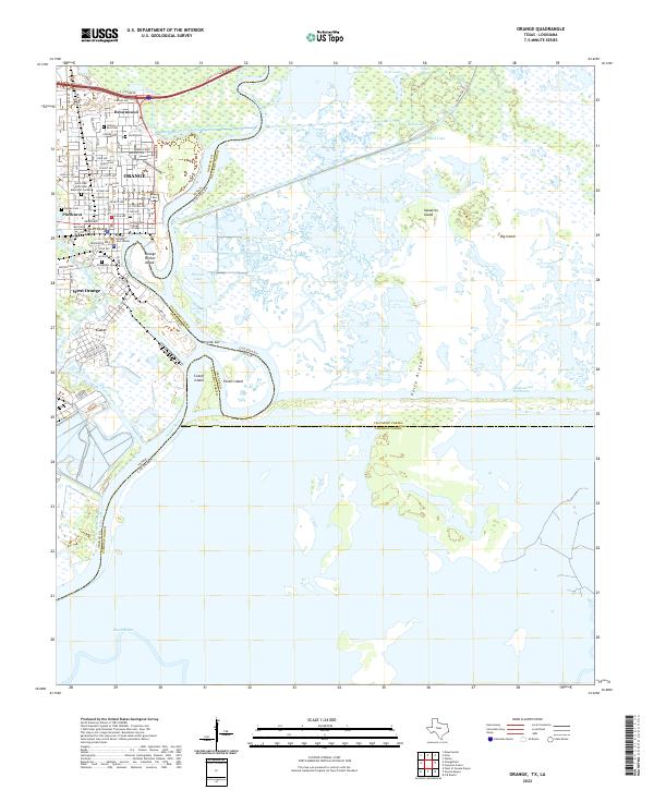
USGS Topo · Published 1999About this map
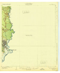
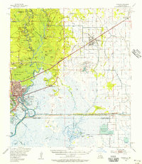
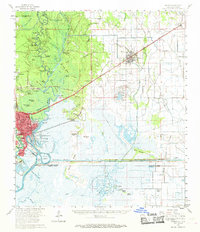
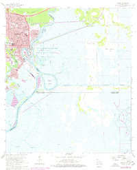
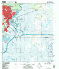
The Sabine River serves as the industrial and geographic spine of this Gulf Coast landscape, where the Texas-Louisiana border meets the complex marshlands of the Sabine-Intracoastal Waterway. The city of Orange dominates the western bank, its grid extending into established neighborhoods like West Orange and Brownwood. This area is defined by its deep-water infrastructure, including the Turning Basin and the Naval and Marine Corps Reserve Center, reflecting the region's naval history and ship-building legacy.
Find a feature on this map
61 named features on this map. Tap any name to fly to it.
Don’t see what you’re looking for? This feature index may not catch every label — zoom into the map to look around manually.
Map Details
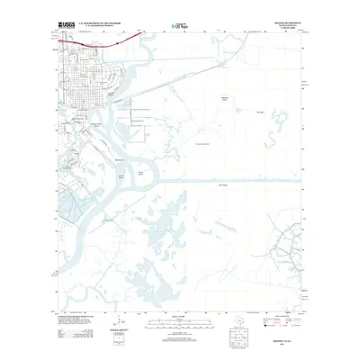
Editions of this 1996 Orange Map
This is the sole edition of this map. No revisions or reprints were ever made.
Historical Maps of Orange Through Time
10 maps found