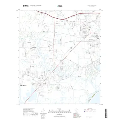
2019 Map of Orangefield
USGS Topo · Published 2019About this map
Bridge City and the surrounding marshlands of the Sabine River delta are captured here as they appeared in 2019. This landscape is defined by the complex hydrology of Cow Bayou, Sandy Creek, and Coon Bayou, which weave through residential developments and industrial areas. The map reveals a dense network of local history, preserved through several family and community burial grounds such as Dorman Cem, Winfree Cem, and Granger Cem. Significant infrastructure supports the region, including the Orange County Airport and the Intracoastal Waterway, which facilitates maritime commerce along the state border. Smaller settlements like Orangefield, Bancroft, and Tulane provide a window into the scattered residential patterns of this coastal prairie region near the Louisiana border.
Find a feature on this map
211 named features on this map. Tap any name to fly to it.
Don’t see what you’re looking for? This feature index may not catch every label — zoom into the map to look around manually.
Map Details
Editions of this 2019 Orangefield Map
This is the sole edition of this map. No revisions or reprints were ever made.
Other maps of this area

1926 · Terry
USGS Topo · 1:24,000

1926 · Texla
USGS Topo · 1:24,000

1926 · Mauriceville
USGS Topo · 1:24,000

1932 · Orange
USGS Topo · 1:62,500

1932 · Port Arthur NE
USGS Topo · 1:31,680

1934 · Greens Bayou
USGS Topo · 1:24,000

1935 · Greens Bayou
USGS Topo · 1:31,680

1943 · West of Greens Bayou
USGS Topo · 1:24,000

1943 · Orangefield
USGS Topo · 1:24,000

1943 · Mauriceville
USGS Topo · 1:24,000