
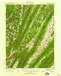
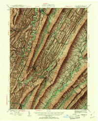
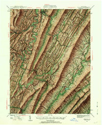
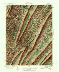
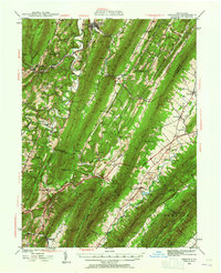
1939 Map of Orbisonia
USGS Topo · Published 1954About this map
The ridge-and-valley landscape of central Pennsylvania is deeply etched across this 1939 survey, centered on the historic iron and rail hub of Orbisonia. The East Broad Top RR winds through the northern valleys, serving settlements like Rockhill and Saltillo, while the massive engineering of the Pennsylvania Turnpike cuts through the southern reaches, including the Tuscarora Tunnel. This era represents a significant transition in transportation, as the narrow-gauge rail infrastructure of the previous century shared the terrain with the newly emerging high-speed toll road.
Find a feature on this map
102 named features on this map. Tap any name to fly to it.
Don’t see what you’re looking for? This feature index may not catch every label — zoom into the map to look around manually.
Map Details
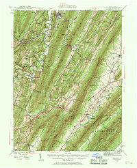
Editions of this 1939 Orbisonia Map
7 editions found
Other maps of this area

1900 · Mercersburg
USGS Topo · 1:62,500

1901 · Huntingdon
USGS Topo · 1:62,500

1902 · Chambersburg
USGS Topo · 1:62,500

1902 · Mercersburg
USGS Topo · 1:62,500

1904 · Huntingdon
USGS Topo · 1:62,500

1919 · Mattawana
USGS Topo · 1:62,500

1922 · Mt Union
USGS Topo · 1:48,000

1923 · Shippensburg
USGS Topo · 1:62,500

1924 · Mt. Union
USGS Topo · 1:62,500

1925 · Needmore
USGS Topo · 1:48,000