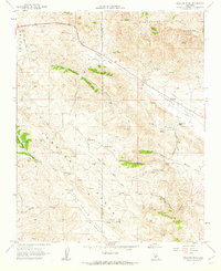
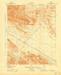
1961 Map of Orchard Peak
USGS Topo · Published 1962About this map
The high ridges of the Temblor Range and the distinctive Orchard Peak define this 1961 landscape at the boundary of Kern and San Luis Obispo counties. This is a region defined by steep topography and the strategic transit corridors of the Antelope Valley and Cholame Valley. Industrial activity is evident near the Antelope Pumping Sta, while the presence of a Pipeline and scattered Drill Hole markers suggest the early expansion of petroleum infrastructure.
Find a feature on this map
46 named features on this map. Tap any name to fly to it.
Don’t see what you’re looking for? This feature index may not catch every label — zoom into the map to look around manually.
Map Details
Editions of this 1961 Orchard Peak Map
2 editions found
Other maps of this area

1914 · Cholame
USGS Topo · 1:125,000

1915 · Cholame
USGS Topo · 1:125,000

1917 · Cholame
USGS Topo · 1:125,000

1942 · Tent Hills
USGS Topo · 1:24,000

1943 · Packwood
USGS Topo · 1:31,680

1943 · Grant Lake
USGS Topo · 1:31,680

1943 · Commatti Canyon
USGS Topo · 1:31,680
1943 · Cholame
USGS Topo · 1:31,680
1943 · Tent Hills
USGS Topo · 1:31,680
1943 · Sawtooth Ridge
USGS Topo · 1:31,680