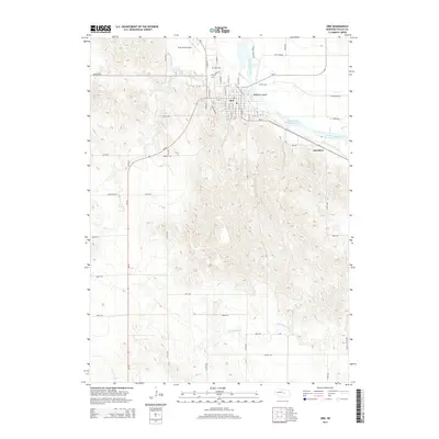
2014 Map of Ord
USGS Topo · Published 2014About this map
The North Loup River valley defines the character of this Nebraska landscape, where the city of Ord serves as a hub for local agriculture and transport. The map highlights a complex network of irrigation and water management, including the Taylor-Ord Canal, Hardenbrook Diversion Reservoir, and the Ord-North Loup Canal. These features illustrate the region's historical reliance on river-fed systems to support the surrounding plains.
Find a feature on this map
61 named features on this map. Tap any name to fly to it.
Don’t see what you’re looking for? This feature index may not catch every label — zoom into the map to look around manually.
Map Details
Editions of this 2014 Ord Map
This is the sole edition of this map. No revisions or reprints were ever made.
Other maps of this area

1899 · Loup
USGS Topo · 1:125,000

1951 · Arcadia East
USGS Topo · 1:24,000

1952 · Elyria
USGS Topo · 1:24,000

1952 · Comstock SE
USGS Topo · 1:24,000

1953 · Loup City NW
USGS Topo · 1:24,000

1953 · North Loup
USGS Topo · 1:24,000

1954 · Ord SE
USGS Topo · 1:24,000

1954 · Ord
USGS Topo · 1:24,000

1954 · Ord NE
USGS Topo · 1:24,000

1954 · Ord NW
USGS Topo · 1:24,000