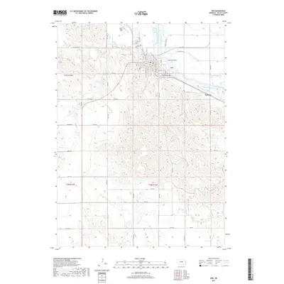
2017 Map of Ord
USGS Topo · Published 2017About this map
Ord serves as the central hub of this Valley County landscape, positioned along the banks of the North Loup River. The area’s reliance on water management is evident through the extensive irrigation infrastructure, including the Taylor-Ord Canal and the Ord-North Loup Canal. These systems trace the river valley, supporting the agricultural economy of the region. To the north of the town center, Evelyn Sharp Field and the Ord Cem provide historical and local reference points, while Anderson Island sits within the river’s path near the city’s eastern edge.
Find a feature on this map
38 named features on this map. Tap any name to fly to it.
Don’t see what you’re looking for? This feature index may not catch every label — zoom into the map to look around manually.
Map Details
Editions of this 2017 Ord Map
This is the sole edition of this map. No revisions or reprints were ever made.
Other maps of this area

1899 · Loup
USGS Topo · 1:125,000

1951 · Arcadia East
USGS Topo · 1:24,000

1952 · Elyria
USGS Topo · 1:24,000

1952 · Comstock SE
USGS Topo · 1:24,000

1953 · Loup City NW
USGS Topo · 1:24,000

1953 · North Loup
USGS Topo · 1:24,000

1954 · Ord SE
USGS Topo · 1:24,000

1954 · Ord
USGS Topo · 1:24,000

1954 · Ord NE
USGS Topo · 1:24,000

1954 · Ord NW
USGS Topo · 1:24,000