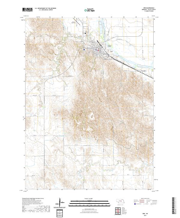
2021 Map of Ord
USGS Topo · Published 2021About this map
The Valley County Courthouse stands at the center of Ord, a community defined by its proximity to the North Loup River and its intricate network of irrigation channels. This 2021 survey shows a landscape where water management is vital to local survival, evidenced by the Taylor-Ord Canal and the Ord-North Loup Canal which navigate the terrain alongside the river's path. To the north, Evelyn Sharp Field serves the region, while the Ord Cem and various residential grids like Valley View Dr trace the town's expansion over time. The topography transitions from the flat river bottom containing Anderson Island to the dissected hills and draws drained by Dane Cr and N Br Mira. Further east, the settlement of Saunders marks a distinct point along the river valley road network.
Find a feature on this map
63 named features on this map. Tap any name to fly to it.
Don’t see what you’re looking for? This feature index may not catch every label — zoom into the map to look around manually.
Map Details
Editions of this 2021 Ord Map
This is the sole edition of this map. No revisions or reprints were ever made.
Other maps of this area

1899 · Loup
USGS Topo · 1:125,000

1951 · Arcadia East
USGS Topo · 1:24,000

1952 · Elyria
USGS Topo · 1:24,000

1952 · Comstock SE
USGS Topo · 1:24,000

1953 · Loup City NW
USGS Topo · 1:24,000

1953 · North Loup
USGS Topo · 1:24,000

1954 · Ord SE
USGS Topo · 1:24,000

1954 · Ord
USGS Topo · 1:24,000

1954 · Ord NE
USGS Topo · 1:24,000

1954 · Ord NW
USGS Topo · 1:24,000