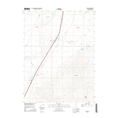
2014 Map of Oreana
USGS Topo · Published 2014About this map
Humboldt Valley serves as a vital corridor for transportation and settlement, dominated by the winding course of the Humboldt River. Modern infrastructure follows the path of history here, with contemporary routes running parallel to historic thoroughfares like Old Emigrant Rd and Old Victory Hwy. The small settlements of Oreana and Woolsey anchor the valley floor, positioned between the river and the rising slopes of the West Humboldt Range.
Find a feature on this map
23 named features on this map. Tap any name to fly to it.
Don’t see what you’re looking for? This feature index may not catch every label — zoom into the map to look around manually.
Map Details
Editions of this 2014 Oreana Map
This is the sole edition of this map. No revisions or reprints were ever made.
Other maps of this area

1931 · Lovelock
USGS Topo · 1:250,000

1935 · Lovelock
USGS Topo · 1:250,000
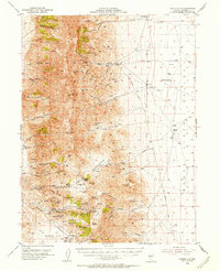
1954 · Unionville
USGS Topo · 1:62,500
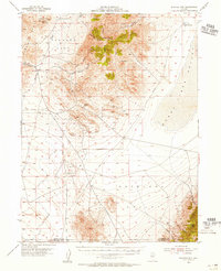
1954 · Buffalo Mtn
USGS Topo · 1:62,500

1955 · Lovelock
USGS Topo · 1:250,000
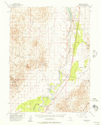
1956 · Oreana
USGS Topo · 1:62,500
1956 · Lovelock
USGS Topo · 1:62,500

1959 · Lovelock
USGS Topo · 1:250,000
1984 · Lovelock
USGS Topo · 1:100,000
1987 · Rye Patch Dam
USGS Topo · 1:24,000