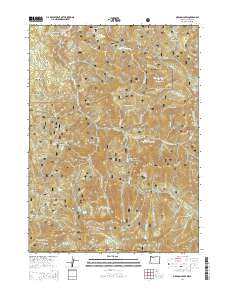
2014 Map of Oregon Caves
USGS Topo · Published 2014About this map
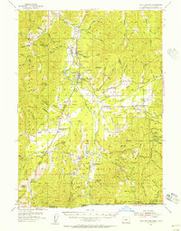
Oregon Caves National Monument dominates the high-altitude landscape of the Siskiyou Mountains at the border of Oregon and California. This 2014 survey reveals a complex network of forest development roads, such as Nat For Dev Rd 4611 and Caves Hwy, which navigate the steep drainage systems of Sucker Creek and Cave Creek. The map details a history of resource extraction and seasonal settlements through labels like California Bar, Portuguese Flat, and several numbered features including Number Seven Gulch.
Find a feature on this map
97 named features on this map. Tap any name to fly to it.
Don’t see what you’re looking for? This feature index may not catch every label — zoom into the map to look around manually.
Map Details
Editions of this 2014 Oregon Caves Map
This is the sole edition of this map. No revisions or reprints were ever made.
Other maps of this area
1908 · Grants Pass
USGS Topo · 1:125,000
1914 · Seiad
USGS Topo · 1:125,000
1917 · Kerby
USGS Topo · 1:125,000
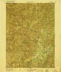
1918 · Kerby
USGS Topo · 1:125,000
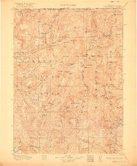
1922 · Preston Peak
USGS Topo · 1:125,000
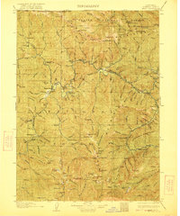
1922 · Seiad
USGS Topo · 1:125,000
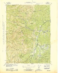
1945 · Kerby
USGS Topo · 1:125,000

1948 · Weed
USGS Topo · 1:250,000

1950 · Weed
USGS Topo · 1:250,000
1954 · Cave Junction
USGS Topo · 1:62,500