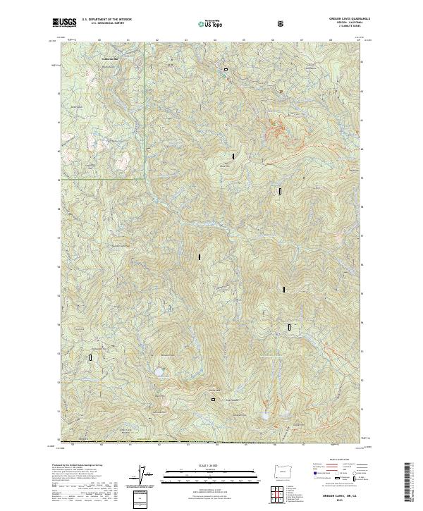
2023 Map of Oregon Caves
USGS Topo · Published 2023About this map
Oregon Caves National Monument and Preserve anchors the northeast corner of this map, protecting a subterranean landscape beneath the high ridges of the Siskiyou Mountains. The terrain is defined by extreme relief, where the River Styx Wild and Scenic River and Sucker Creek carve through deep gulches and canyons. Named flats like California Bar, Serpentine Flat, and Portuguese Flat hint at the area's human history, while the southern reaches extend into the Red Buttes Wilderness. High-elevation landmarks such as Mt Elijah and Whiskers Peak overlook a network of alpine waters including Bolan Lake and Tanner Lake. This modern survey details the intricate road and trail systems, including the Limestone Trl and Lake Mountain Trl, that provide access to these protected lands within the broader Siskiyou National Forest.
Find a feature on this map
85 named features on this map. Tap any name to fly to it.
Don’t see what you’re looking for? This feature index may not catch every label — zoom into the map to look around manually.
Map Details
Editions of this 2023 Oregon Caves Map
This is the sole edition of this map. No revisions or reprints were ever made.
Other maps of this area

1908 · Grants Pass
USGS Topo · 1:125,000

1914 · Seiad
USGS Topo · 1:125,000

1917 · Kerby
USGS Topo · 1:125,000

1918 · Kerby
USGS Topo · 1:125,000

1922 · Preston Peak
USGS Topo · 1:125,000

1922 · Seiad
USGS Topo · 1:125,000

1945 · Kerby
USGS Topo · 1:125,000

1948 · Weed
USGS Topo · 1:250,000

1950 · Weed
USGS Topo · 1:250,000

1954 · Cave Junction
USGS Topo · 1:62,500